Nablus Football Stadium, Nablus
Map
Facts and practical information
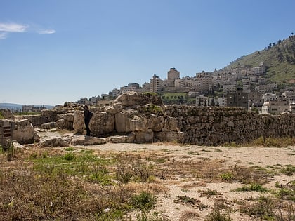
The Nablus Football Stadium has a capacity of 15,000. The stadium is home to the city's football club al-Ittihad, which is in the main league in Palestine. The club participated in the Middle East Mediterranean Scholar Athlete Games in 2000. This stadium, which was constructed in 1950, is the 1st stadium in Palestine, in 2009 it was rebuilt and expanded to meet the FIFA standards, its area is 105x68 with field area of 111x74. The development of the stadium has made its capacity to be 15,000 and the whole project cost was 1.5 M $. ()
Address
Nablus
ContactAdd
Social media
Add
Day trips
Nablus Football Stadium – popular in the area (distance from the attraction)
Nearby attractions include: Jacob's Well, Shechem, Joseph's Tomb, Mount Ebal.
Frequently Asked Questions (FAQ)
Which popular attractions are close to Nablus Football Stadium?
Nearby attractions include Shechem, Nablus (13 min walk), Tell Balata, Nablus (14 min walk), Great Mosque of Nablus, Nablus (15 min walk), Balata al-Balad, Nablus (16 min walk).
How to get to Nablus Football Stadium by public transport?
The nearest stations to Nablus Football Stadium:
Bus
Bus
- المجمع الشرقي (17 min walk)
- Bus Station (29 min walk)

