Rameh

Gallery (1)
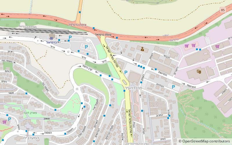
Map
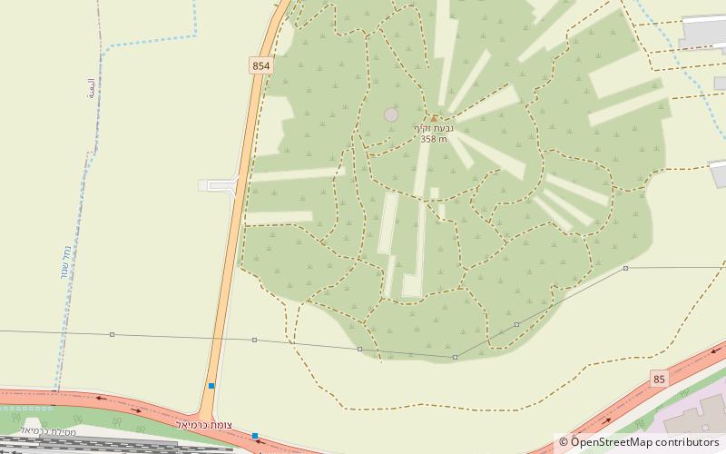
Map
Facts and practical information
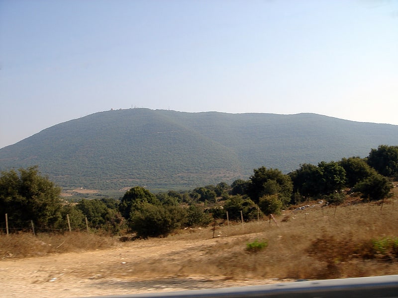
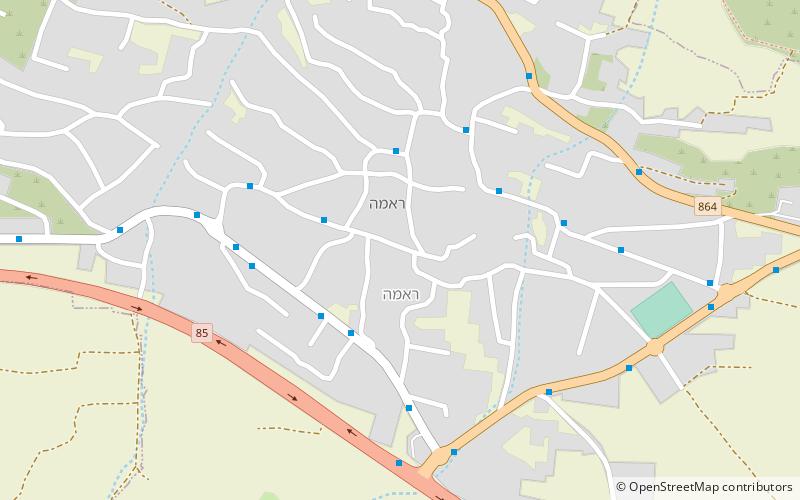
Rameh is an Arab town in the Northern District of Israel. Located east of Nahf and Karmiel, in 2019 it had a population of 7,728. Over half of the inhabitants are Christians, mostly Greek Orthodox and Greek Catholic, over a third are Druze and the remainder are Muslims. ()
Location
HaZafon
ContactAdd
Social media
Add
Day trips