Al-Aqsa University, Gaza Strip
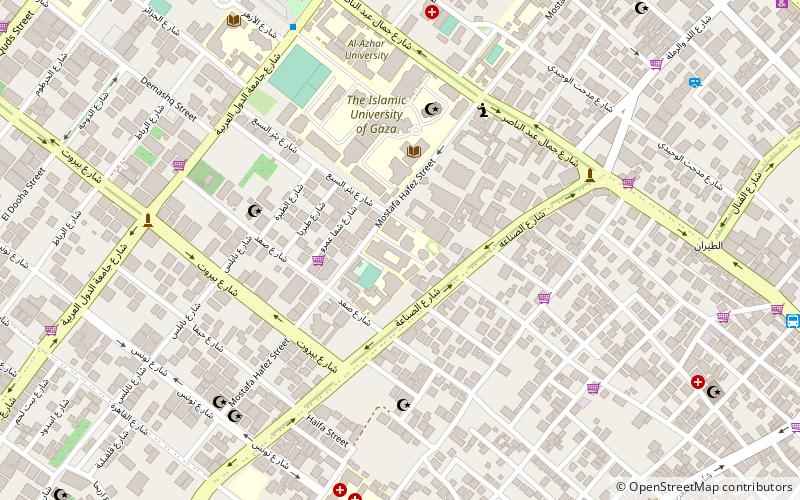
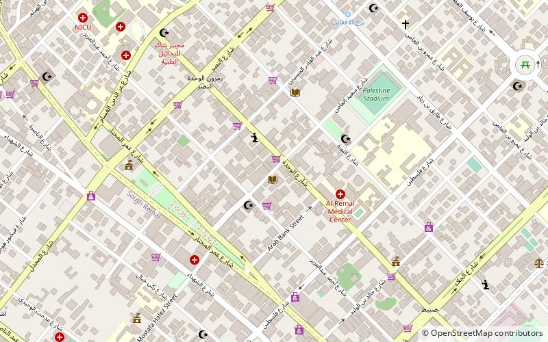
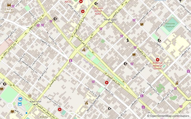
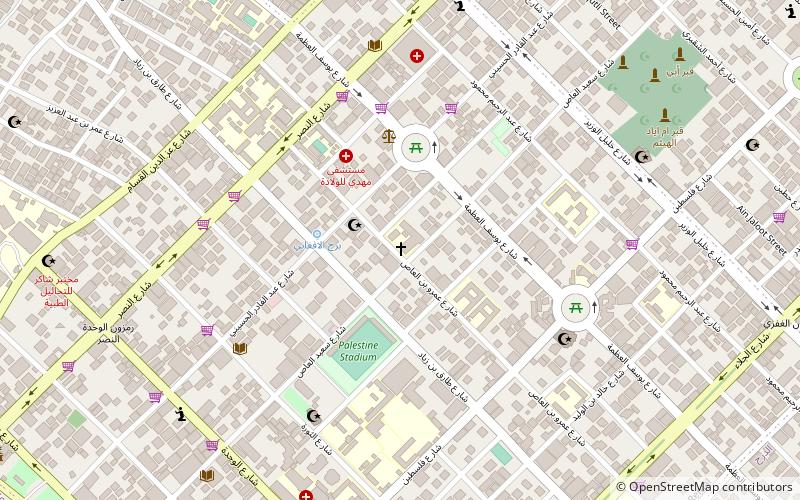
Map
Facts and practical information
Al-Aqsa University is a Palestinian university established in 1955 in the Gaza Strip, Palestine. Established in 1955 as the first higher education institution, Alaqsa University is the oldest governmental higher education institution. It caters for some 26,000 students and has some 1400 employees, 300 of whom are lecturers and professors. ()
Getting there by public transportation
Public transportation stops near this location
- Bus
 Bus
Bus
- Calculate routeAl-Azhar Bus Station 10 min walk
- Calculate routeAlazhar Bus Station 11 min walk
- Calculate routeمفترق الحايك 13 min walk
- Calculate routeAnsar 16 min walk
Day trips


Frequently Asked Questions (FAQ)
Which popular attractions are close to Al-Aqsa University?
Nearby attractions include Islamic University of Gaza, Gaza Strip (5 min walk), Tel al-Hawa, Gaza City (7 min walk), Al-Azhar University – Gaza, Gaza Strip (9 min walk), Unknown Soldier's Square, Gaza Strip (16 min walk).
How to get to Al-Aqsa University by public transport?
The nearest stations to Al-Aqsa University:
Bus
Bus
- Al-Azhar Bus Station (10 min walk)
- Alazhar Bus Station (11 min walk)