Sabra, Gaza Strip
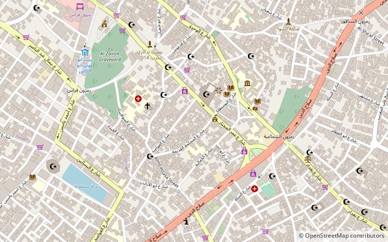
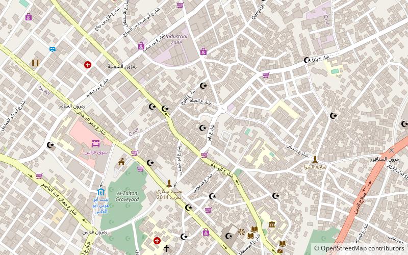
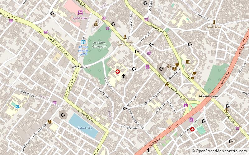
Map
Facts and practical information
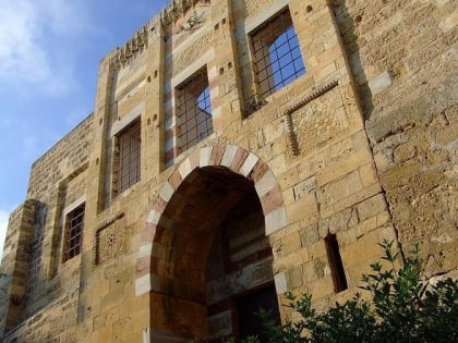
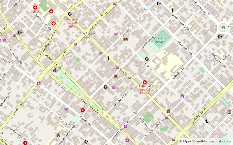
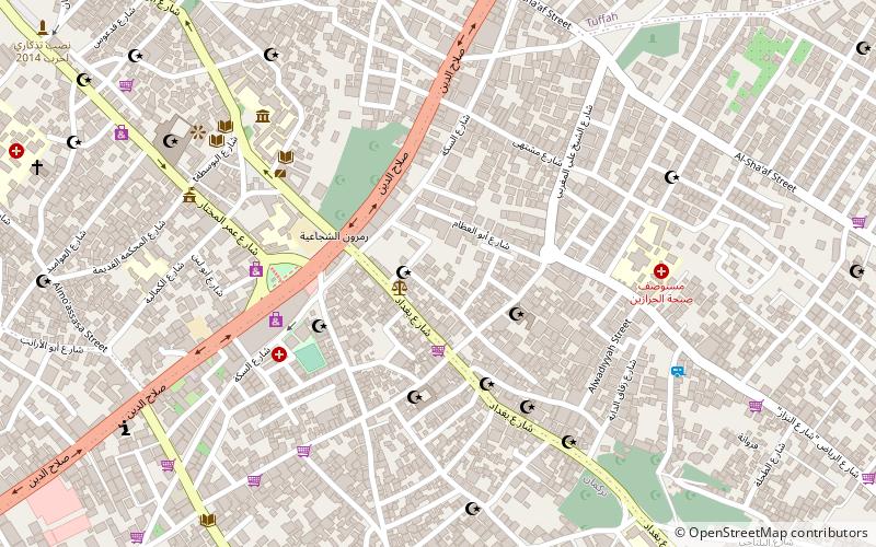
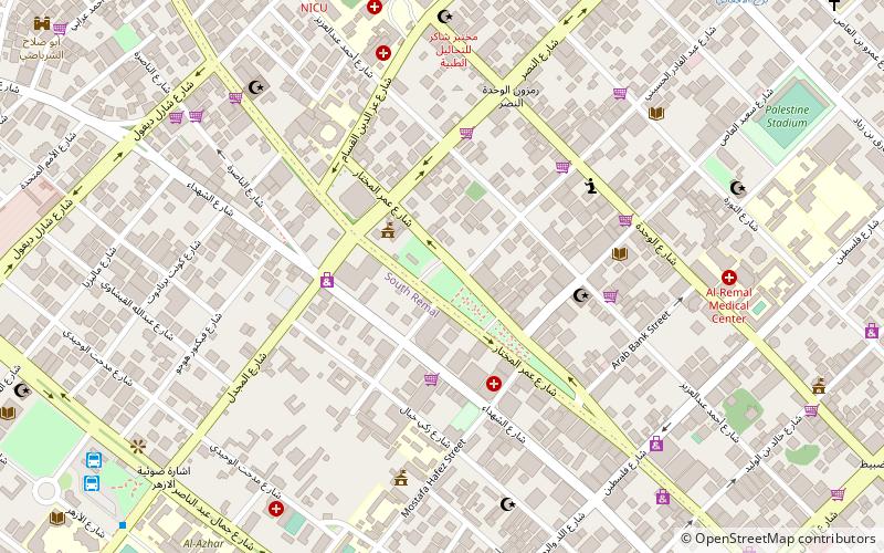
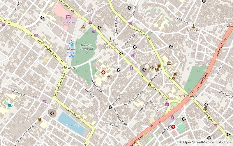
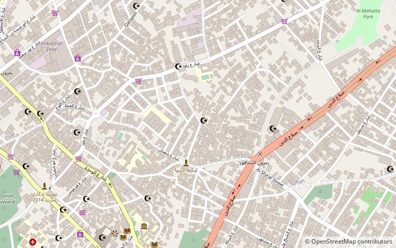
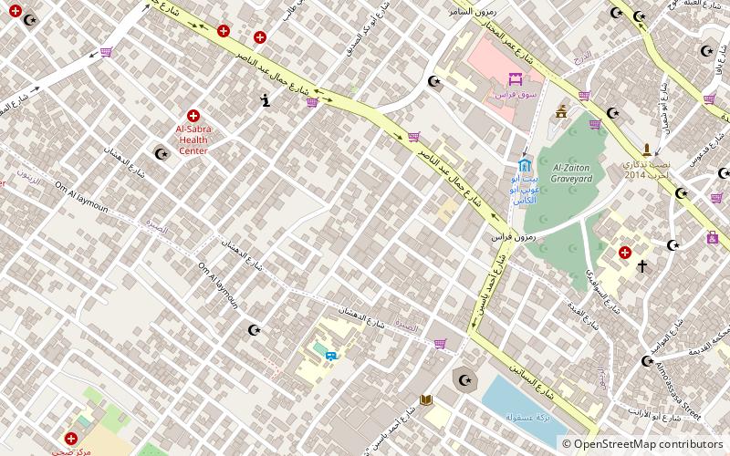
Sabra is a neighborhood district in western Gaza. It was established during the Mandatory Palestine period in Palestine. It contains the city's municipal mark, built in the 1930s south of Omar Mukhtar Street. Sabra is home to the Sabra family. The Israeli Air Force destroyed a small dairy factory in the neighborhood in a wave of airstrikes against the Gaza Strip on 2 April 2010. ()
Coordinates: 31°30'16"N, 34°27'19"E
Address
Gaza Strip
ContactAdd
Social media
Add
Day trips
Sabra – popular in the area (distance from the attraction)
Nearby attractions include: Gold Market, Qasr al-Basha, Sayed al-Hashim Mosque, Church of Saint Porphyrius.
Frequently Asked Questions (FAQ)
Which popular attractions are close to Sabra?
Nearby attractions include Church of Saint Porphyrius, Gaza Strip (11 min walk), Katib al-Wilaya Mosque, Gaza Strip (11 min walk), Gold Market, Gaza Strip (14 min walk), Sayed al-Hashim Mosque, Gaza Strip (14 min walk).
How to get to Sabra by public transport?
The nearest stations to Sabra:
Bus
Bus
- مفترق الحايك (14 min walk)
- Al-Azhar Bus Station (34 min walk)
