Beit Jann

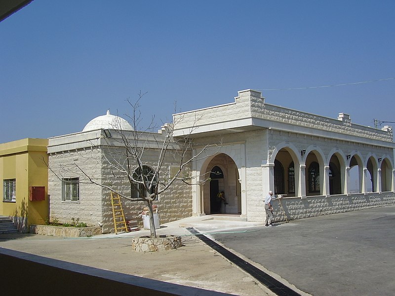
Gallery (2)
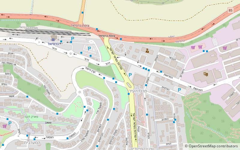
Map

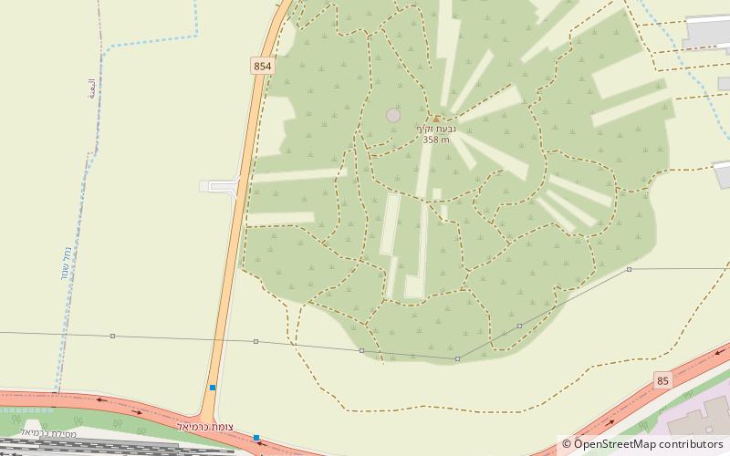
Map
Gallery
Facts and practical information
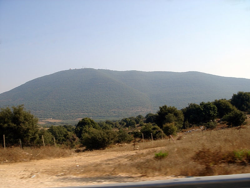
Beit Jann is a Druze village on Mount Meron in northern Israel. At 940 meters above sea level, Beit Jann is one of the highest inhabited locations in the country. In 2019 it had a population of 12,001. ()
Location
HaZafon
ContactAdd
Social media
Add
Day trips