Rimal, Gaza City
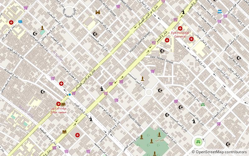
Map
Facts and practical information
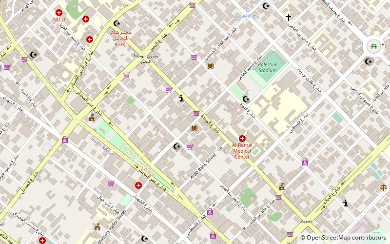
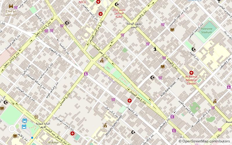
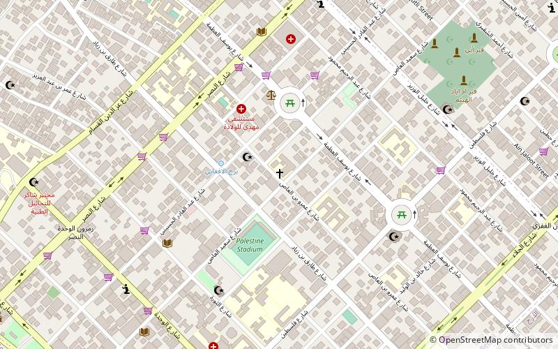
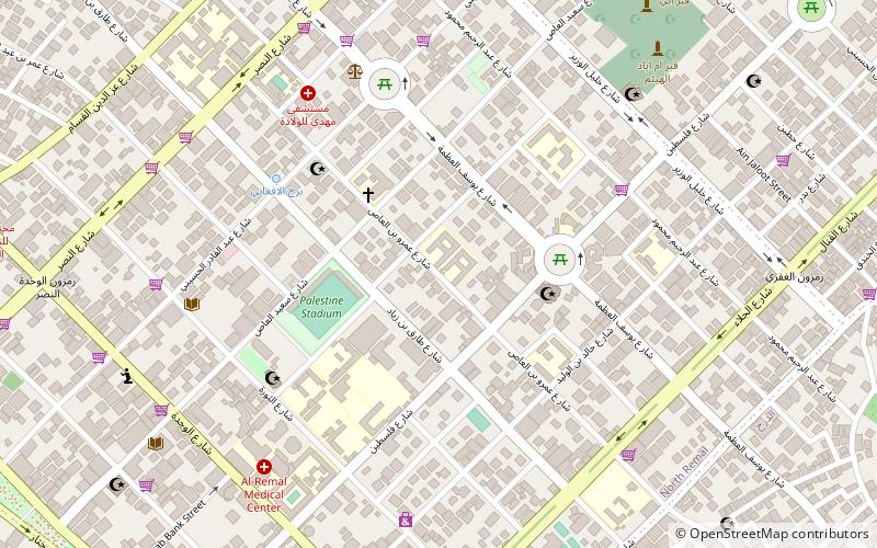
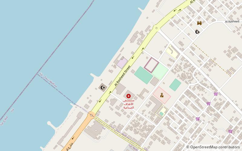
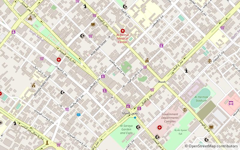
Rimal or Remal is an upscale neighborhood in Gaza City located 3 kilometers from the city center. Situated along the coastline, it has been considered the most prosperous neighborhood of Gaza. The main street that runs through Gaza, Omar Mukhtar Street runs northwest-southeast in the district and the main coastal road, Ahmad Orabi/Rasheed Street northeast-southwest. Rimal is currently divided into the city districts of Southern Rimal and Northern Rimal. ()
Coordinates: 31°31'51"N, 34°27'21"E
Address
Gaza City
ContactAdd
Social media
Add
Day trips
Rimal – popular in the area (distance from the attraction)
Nearby attractions include: Gaza Mall, Unknown Soldier's Square, Holy Family Church, Palestine Square.
Frequently Asked Questions (FAQ)
Which popular attractions are close to Rimal?
Nearby attractions include Nasser, Gaza City (9 min walk), Holy Family Church, Gaza Strip (14 min walk), Palestine Square, Gaza Strip (15 min walk), Al-Shati Camp, Gaza City (16 min walk).
How to get to Rimal by public transport?
The nearest stations to Rimal:
Bus
Bus
- Alazhar Bus Station (38 min walk)
- Al-Azhar Bus Station (38 min walk)
