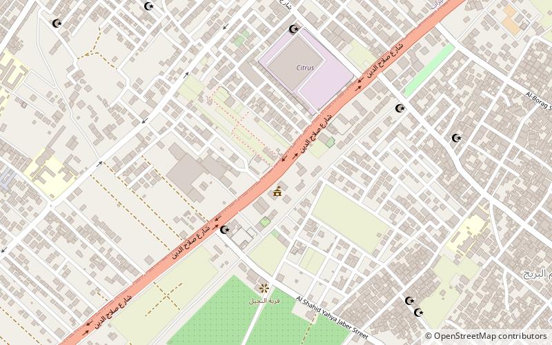
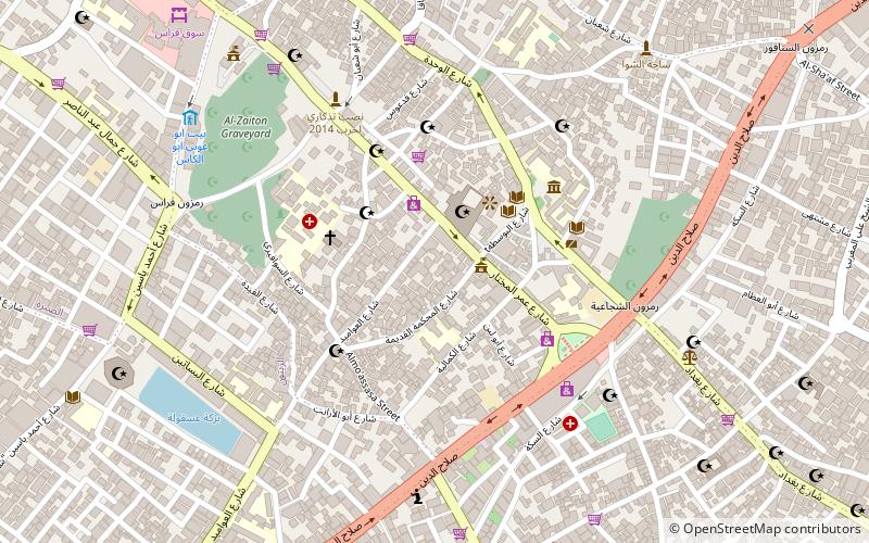
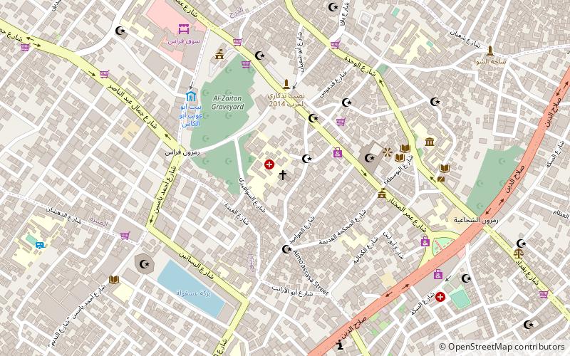
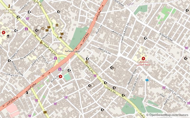
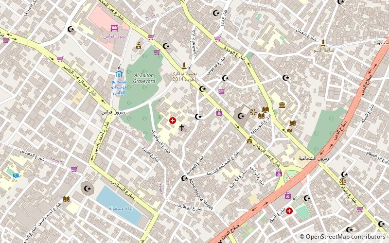
Salah al-Din Road, Gaza City
Facts and practical information
Salah al-Din Road, also known as the Salah al-Din Highway, is a historic and strategic thoroughfare that runs the entire length of the Gaza Strip, from the Erez Crossing in the north to the Rafah Crossing in the south. Named after the legendary Muslim leader Salah al-Din Al-Ayyubi, who fought against the Crusaders, this road is steeped in history and contemporary significance.
As Gaza City's main artery, Salah al-Din Road is not only a vital transport link but also a bustling hive of activity, reflecting the daily life of the city. The road is lined with a myriad of shops, markets, and businesses that serve the needs of the local population, making it a focal point for commerce and social interaction.
Despite its importance, the road has also been a flashpoint for conflict, bearing witness to the struggles that have shaped the region. It has frequently been subject to closures and restrictions, which greatly affect the movement of goods and people, reflecting the broader challenges faced by Gaza.
Salah al-Din Road plays a crucial role in the city's infrastructure, connecting various neighborhoods and facilitating the flow of economic life. Its significance extends beyond mere transportation, as it is a symbol of resilience and continuity for the people of Gaza City amidst the complexities of geopolitics in the region.
Gaza City
- Bus
 Bus
Bus
- Calculate routeدوار ابو مدين 21 min walk
- Calculate routeشارع مصعب بن عمير 22 min walk


Frequently Asked Questions (FAQ)
How to get to Salah al-Din Road by public transport?
Bus
- دوار ابو مدين (21 min walk)
- شارع مصعب بن عمير (22 min walk)