Tel al-Hawa, Gaza City
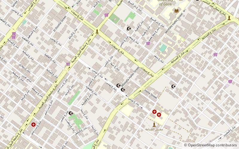
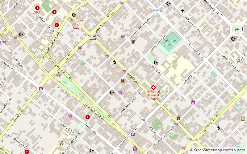
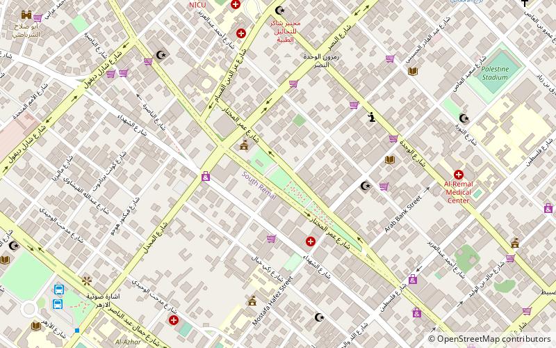
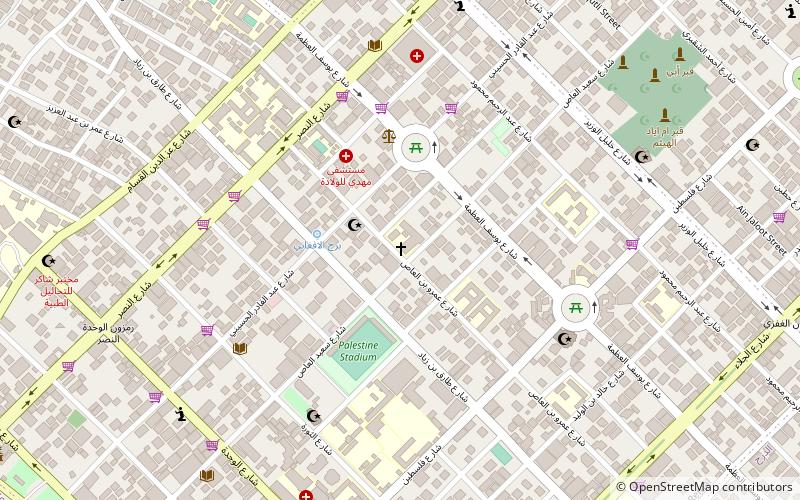
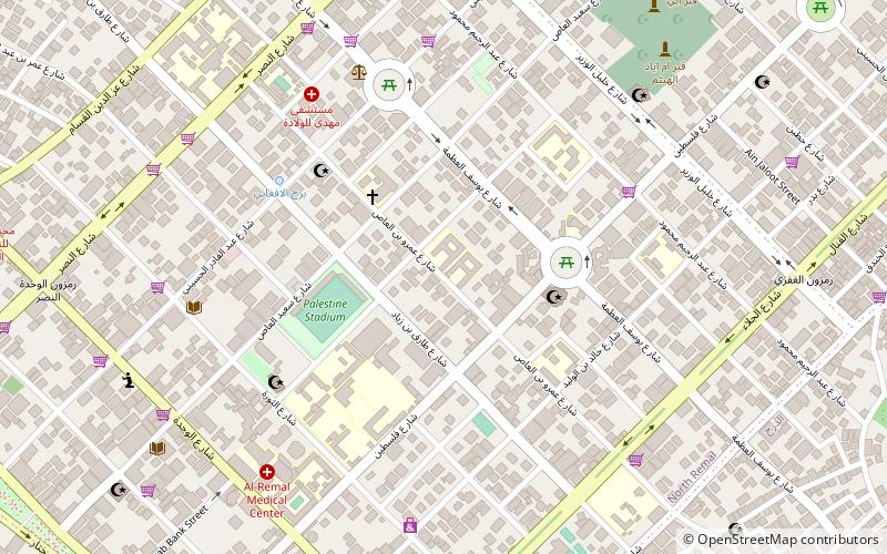
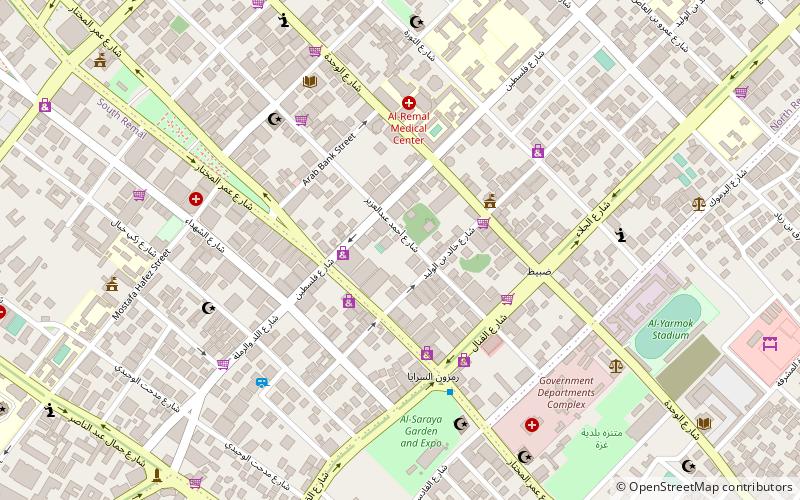
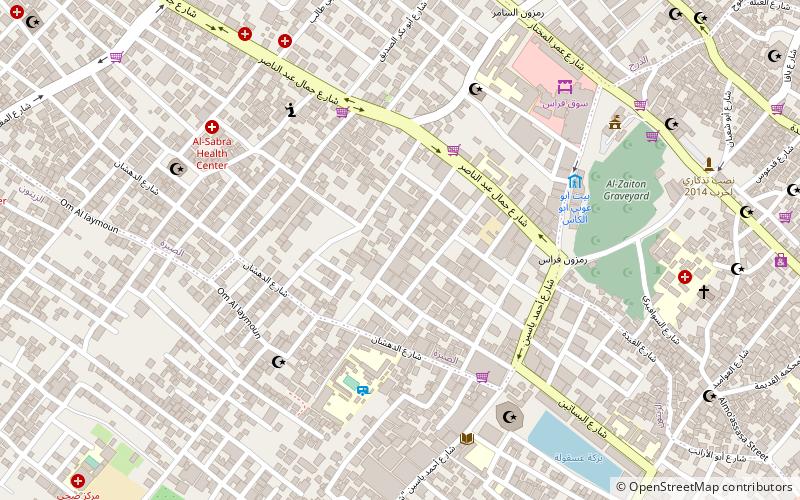
Map
Facts and practical information
Tel al-Hawa or Tel al-Islam is a neighborhood in the southern part of the Palestinian city of Gaza. Founded by the Palestinian National Authority in the late 1990s, Tel al-Hawa is one of the more affluent areas of the city. It contains the Islamic University in Gaza and the Interior Ministry of the Palestinian National Authority. ()
Coordinates: 31°30'33"N, 34°26'13"E
Address
Gaza City
ContactAdd
Social media
Add
Day trips
Tel al-Hawa – popular in the area (distance from the attraction)
Nearby attractions include: Port of Gaza, Gaza Mall, Gaza synagogue, Unknown Soldier's Square.
Frequently Asked Questions (FAQ)
Which popular attractions are close to Tel al-Hawa?
Nearby attractions include Al-Aqsa University, Gaza Strip (7 min walk), Islamic University of Gaza, Gaza Strip (10 min walk), Al-Azhar University – Gaza, Gaza Strip (11 min walk), Sheikh Ijlin, Gaza City (16 min walk).
How to get to Tel al-Hawa by public transport?
The nearest stations to Tel al-Hawa:
Bus
Bus
- Al-Azhar Bus Station (13 min walk)
- Alazhar Bus Station (13 min walk)
