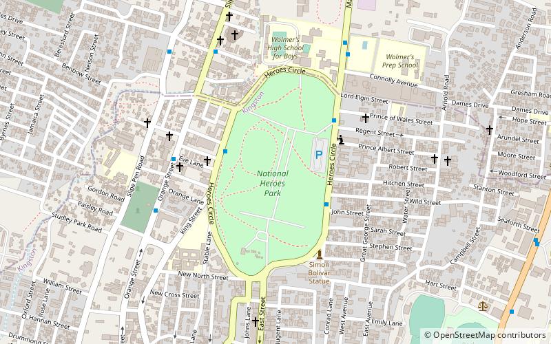
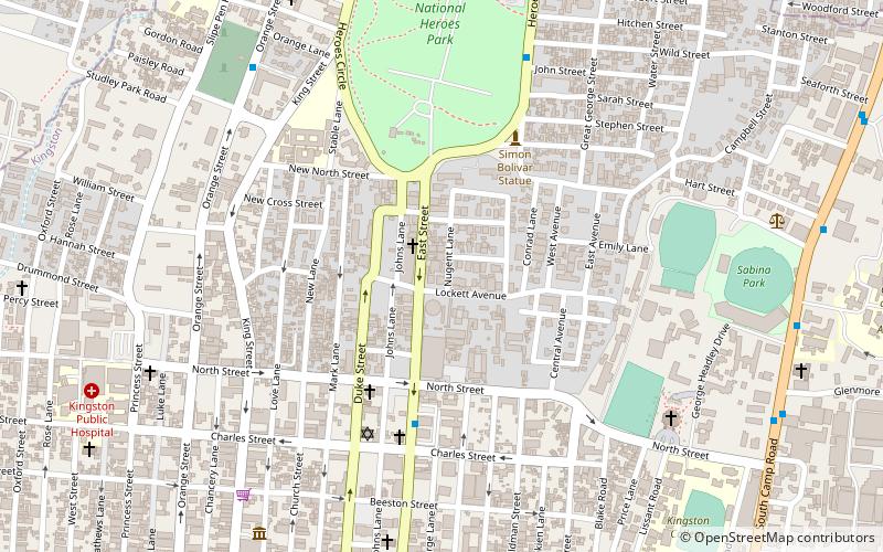
National Heroes Park, Kingston
Facts and practical information
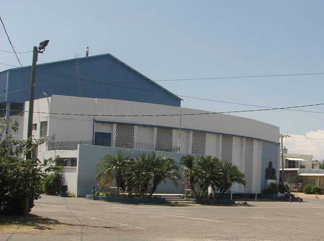
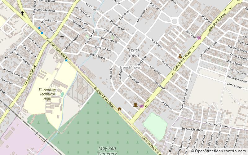
National Heroes Park, located in the heart of Kingston, Jamaica, is a significant site of memory and reverence, paying homage to the nation's most influential leaders and cultural figures. This sprawling 50-acre expanse is not only a lush, green oasis amidst the city's hustle and bustle but also a site steeped in history and national pride.
Once a horseracing track and later a golf course, this space was transformed into a public park in 1973. National Heroes Park is now primarily known as the final resting place for many of Jamaica's national heroes, prime ministers, and cultural contributors. It serves as a memorial park where visitors can reflect on the lives and legacies of those who have shaped the nation's identity.
Among the notable monuments and memorials within the park, one can find the National Heroes Circle, which honors individuals who played pivotal roles in Jamaica's history, such as Marcus Garvey, Norman Manley, and Alexander Bustamante. Their contributions to social justice, national independence, and political leadership are immortalized in grand statues and dedicated plots.
The Cenotaph, located within the park, is another central feature. It is a war memorial erected in honor of Jamaicans who died in World Wars I and II. The site is the focal point of annual Remembrance Day ceremonies, which include military parades and laying of wreaths.
Visitors to National Heroes Park can enjoy a contemplative walk through its well-kept paths, admire the numerous monuments and memorials, or simply relax in the shade of its many trees. It is a place of education and reflection, where the stories of Jamaica's past are preserved for future generations.
- Bus
- Train
 Bus
Bus
- Calculate routeDowntown 21 min walk
- Calculate routeDowntown Municipal Transport Center 27 min walk
- Calculate routeRural Bus Park 29 min walk
- Calculate routeDowntown Kingston Transport Centre 35 min walk
- Calculate routeOld Railway Station 30 min walk


Frequently Asked Questions (FAQ)
Which popular attractions are close to National Heroes Park?
How to get to National Heroes Park by public transport?
Bus
- Downtown (21 min walk)
- Downtown Municipal Transport Center (27 min walk)
Train
- Old Railway Station (30 min walk)