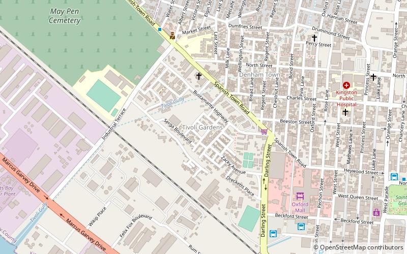
Denham Town, Kingston
Map
Facts and practical information
Coordinates: 17°59'1"N, 76°48'22"W
Address
Kingston
ContactAdd
Social media
Add
Getting there by public transportation
Public transportation stops near this location
- Bus
- Train
 Bus
Bus
- Calculate routeRural Bus Park 27 min walk
- Calculate routeDowntown Municipal Transport Center 28 min walk
- Calculate routeDowntown 30 min walk
- Calculate routeDowntown Kingston Transport Centre 32 min walk
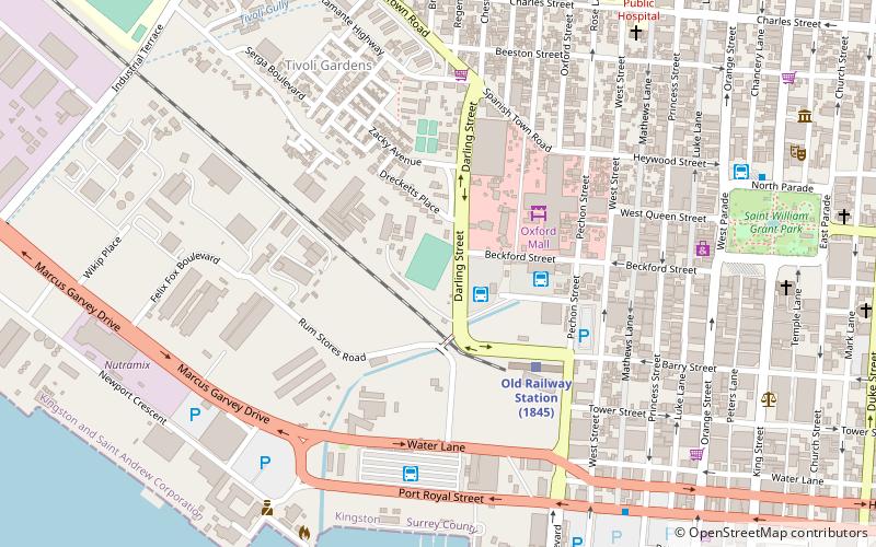
- Calculate routeOld Railway Station 31 min walk
Day trips


Frequently Asked Questions (FAQ)
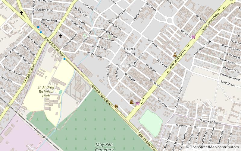
Which popular attractions are close to Denham Town?
Nearby attractions include Trenchtown, Kingston (16 min walk), Tivoli Gardens, Kingston (19 min walk).
How to get to Denham Town by public transport?
The nearest stations to Denham Town:
Bus
Train
Bus
- Rural Bus Park (27 min walk)
- Downtown Municipal Transport Center (28 min walk)
Train
- Old Railway Station (31 min walk)