Trenchtown, Kingston
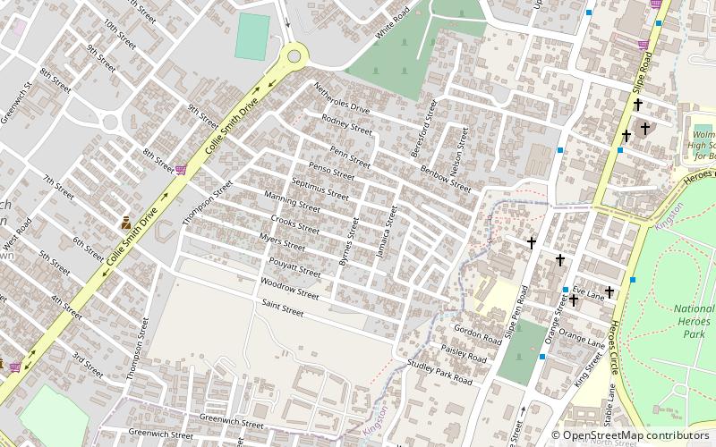
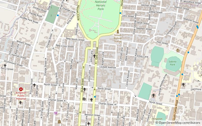
Map
Facts and practical information
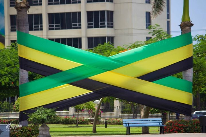
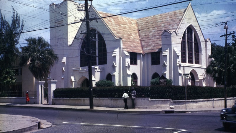
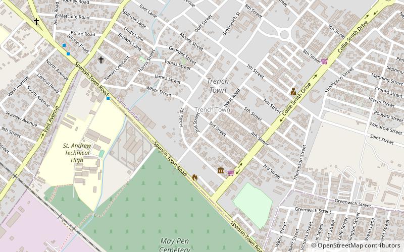
Trench Town is a neighbourhood located in the parish of St. Andrew, part of which is in Kingston, the capital and largest city of Jamaica. In the 1960s, Trench Town was known as the Hollywood of Jamaica. Today Trench Town is the location of the Trench Town Culture Yard Museum, a National Heritage Site presenting the unique history and contribution of Trench Town to Jamaica. ()
Address
Kingston
ContactAdd
Social media
Add
Getting there by public transportation
Public transportation stops near this location
- Bus
- Train
 Bus
Bus
- Calculate routeDowntown 24 min walk
- Calculate routeDowntown Municipal Transport Center 26 min walk
- Calculate routeRural Bus Park 27 min walk
- Calculate routeOld Railway Station 29 min walk
Day trips


Frequently Asked Questions (FAQ)
Which popular attractions are close to Trenchtown?
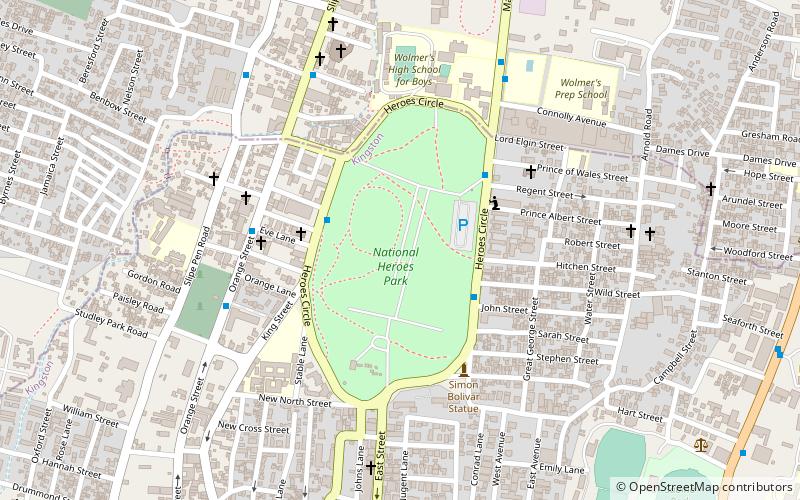
Nearby attractions include National Heroes Park, Kingston (15 min walk), Denham Town, Kingston (16 min walk), Mico University College, Kingston (17 min walk), Fletchers Land, Kingston (19 min walk).
How to get to Trenchtown by public transport?
The nearest stations to Trenchtown:
Bus
Train
Bus
- Downtown (24 min walk)
- Downtown Municipal Transport Center (26 min walk)
Train
- Old Railway Station (29 min walk)