Fletchers Land, Kingston
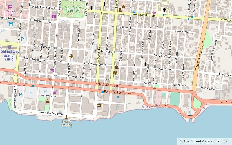
Map
Facts and practical information
Fletchers Land, sometimes written as Fletcher's Land, is a neighborhood in downtown Kingston, Jamaica. The area, served by the Central Kingston Police Division, has a reputation for being dangerous. The no longer active Land Raiders Gang emerged in Fletchers Land. ()
Coordinates: 17°58'41"N, 76°47'19"W
Address
Kingston
ContactAdd
Social media
Add
Getting there by public transportation
Public transportation stops near this location
- Bus
- Train
 Bus
Bus
- Calculate routeDowntown 13 min walk
- Calculate routeDowntown Municipal Transport Center 21 min walk
- Calculate routeRural Bus Park 22 min walk
- Calculate routeDowntown Kingston Transport Centre 28 min walk
- Calculate routeOld Railway Station 23 min walk
Day trips


Frequently Asked Questions (FAQ)
Which popular attractions are close to Fletchers Land?
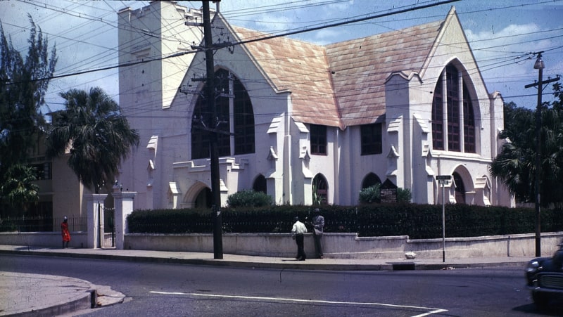
Nearby attractions include Church of the Redeemer, Kingston (5 min walk), Shaare Shalom Synagogue, Kingston (6 min walk), Holy Trinity Cathedral, Kingston (9 min walk), National Heroes Park, Kingston (9 min walk).
How to get to Fletchers Land by public transport?
The nearest stations to Fletchers Land:
Bus
Train
Bus
- Downtown (13 min walk)
- Downtown Municipal Transport Center (21 min walk)
Train
- Old Railway Station (23 min walk)