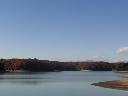
Sayama Prefectural Natural Park, Tokorozawa
Map

Map

Facts and practical information
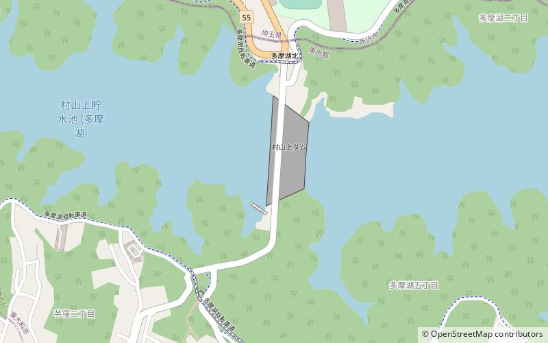
Local name: 東京都立狭山自然公園 Established: 15 March 1951 (74 years ago)Elevation: 377 ft a.s.l.Coordinates: 35°45'46"N, 139°25'1"E
Address
東大和市 (dong da he shi)Tokorozawa
ContactAdd
Social media
Add
Day trips
Sayama Prefectural Natural Park – popular in the area (distance from the attraction)
Nearby attractions include: Seibuen Yuenchi, Seibu Dome, Noyamakita-Rokudōyama Park, Arena Tachikawa Tachihi.
Frequently Asked Questions (FAQ)
How to get to Sayama Prefectural Natural Park by public transport?
The nearest stations to Sayama Prefectural Natural Park:
Bus
Light rail
Train
Bus
- 貯水池下 • Lines: 梅70, 梅70-1 (14 min walk)
- 芋窪 • Lines: 梅70, 梅70-1 (14 min walk)
Light rail
- Seibukyujo-mae • Lines: Sy (15 min walk)
Train
- Seibukyujo-mae (16 min walk)
- Kamikitadai (30 min walk)


