Arahata Fuji Shrine, Tokorozawa
Map
Gallery
Facts and practical information
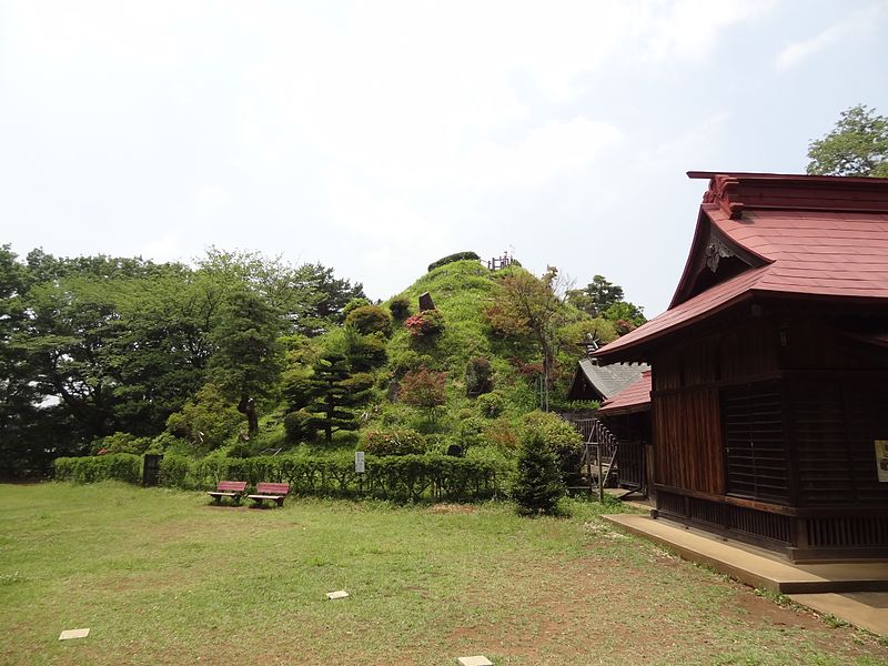
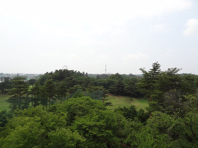
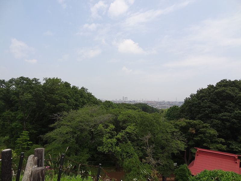
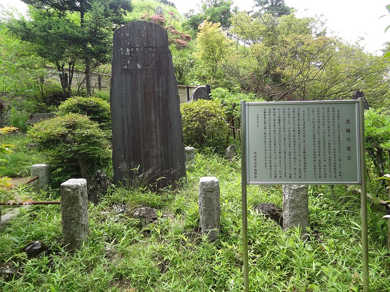
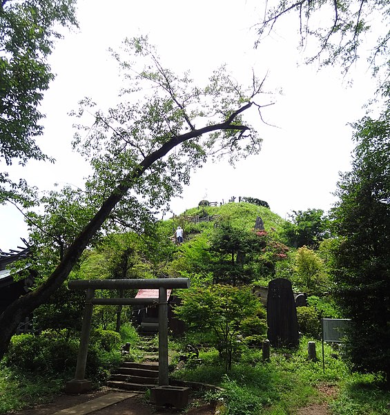
Arahata Fuji Shrine is a Shintō shrine in Tokorozawa city, Saitama Prefecture, Japan. It is noteworthy as a scale reproduction of Mount Fuji that can be easily climbed and offers views of the actual Mount Fuji and surrounding areas from the top. ()
Coordinates: 35°46'26"N, 139°26'46"E
Address
Tokorozawa
ContactAdd
Social media
Add
Day trips
Arahata Fuji Shrine – popular in the area (distance from the attraction)
Nearby attractions include: Seibuen Yuenchi, Hachikokuyama, Shōfuku-ji, Hatogamine Hachiman Shrine.
Frequently Asked Questions (FAQ)
Which popular attractions are close to Arahata Fuji Shrine?
Nearby attractions include Seibuen Yuenchi, Tokorozawa (10 min walk), Hatogamine Hachiman Shrine, Tokorozawa (18 min walk), Hachikokuyama, Tokorozawa (20 min walk), Sayama Prefectural Natural Park, Tokorozawa (24 min walk).
How to get to Arahata Fuji Shrine by public transport?
The nearest stations to Arahata Fuji Shrine:
Train
Light rail
Metro
Bus
Train
- Seibuen (12 min walk)
- Seibuen-yūenchi (12 min walk)
Light rail
- Seibuen-yūenchi • Lines: Sy (12 min walk)
- Tamako • Lines: Sy (14 min walk)
Metro
- Nishi-Tokorozawa • Lines: S, Si (31 min walk)
Bus
- 東村山駅西口 • Lines: 立35 (36 min walk)


