Hachikokuyama, Tokorozawa
Map

Gallery

Facts and practical information
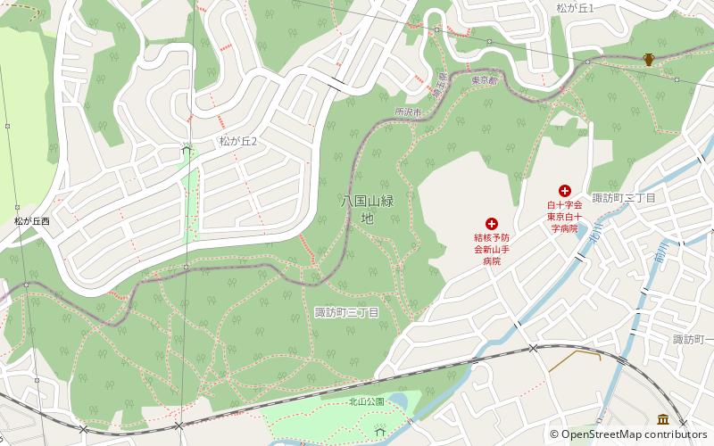
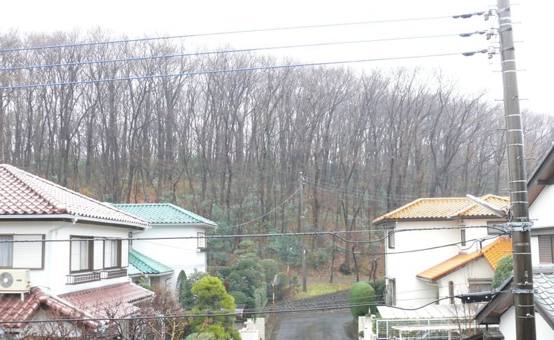
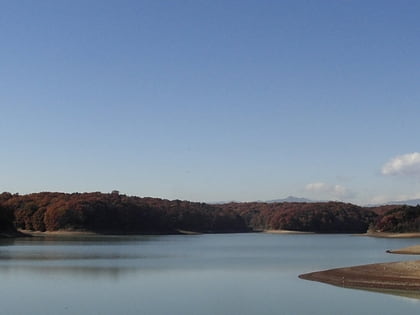
Hachikokuyama is a ridge and park in Higashimurayama, Tokyo along its border with Tokorozawa, Saitama. Its name translates literally into English as "Eight Country Mountain" since in times past, one could view the eight surrounding provinces surrounding Musashi Province from its top. In Japanese it is known as a ryokuchi instead of a park. Ryokuchi literally means "green land" and denotes land used more as a natural setting instead of a typical park. ()
Address
東村山 (dong cun shan)Tokorozawa
ContactAdd
Social media
Add
Day trips
Hachikokuyama – popular in the area (distance from the attraction)
Nearby attractions include: Seibuen Yuenchi, Arahata Fuji Shrine, Shōfuku-ji, Higashimurayama.
Frequently Asked Questions (FAQ)
Which popular attractions are close to Hachikokuyama?
Nearby attractions include Shōfuku-ji, Tokorozawa (11 min walk), Hatogamine Hachiman Shrine, Tokorozawa (12 min walk), Arahata Fuji Shrine, Tokorozawa (20 min walk), Seibuen Yuenchi, Tokorozawa (24 min walk).
How to get to Hachikokuyama by public transport?
The nearest stations to Hachikokuyama:
Train
Bus
Light rail
Metro
Train
- Seibuen (16 min walk)
- Higashi-Murayama (21 min walk)
Bus
- 東村山駅西口 • Lines: 立35 (20 min walk)
Light rail
- Tamako • Lines: Sy (25 min walk)
- Seibuen-yūenchi • Lines: Sy (28 min walk)
Metro
- Tokorozawa • Lines: S, Si (37 min walk)


