Kyoto: Area
Places and attractions in the Area category
Categories
- Temple
- Sacred and religious sites
- Buddhist architecture
- Buddhist temple
- Museum
- Historical place
- Park
- Unesco
- Garden
- Art museum
- Specialty museum
- Street
- Universities and schools
- History museum
- Palace
- Area
- Theater
- Concerts and shows
- Shopping
- Bridge
- Neighbourhood
- Sport venue
- Sport
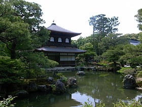
Kyoto/Higashiyama
Higashiyama is one of the eleven wards in the city of Kyoto, in Kyoto Prefecture, Japan.
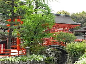
Kyoto/North
Kita is one of the eleven wards in the city of Kyoto, in Kyoto Prefecture, Japan. Its name means "North Ward." As of 2020, the ward has an estimated population of 117,165 people. Hiragino typeface is named after an area in the ward.
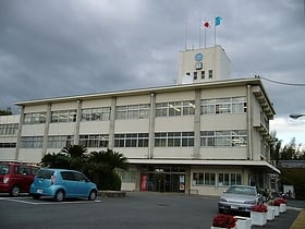
Mukō
Mukō is a city in Kyoto Prefecture, Japan, which served as the capital city of Japan for a decade from 784 to 794. Its neighbor cities are Kyoto and Nagaokakyō. As of 2017, the city has an estimated population of 55,729 and a population density of 7,219 persons per km². The total area is 7.72 km².
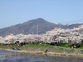
Mount Hiei
Mount Hiei is a mountain to the northeast of Kyoto, lying on the border between the Kyoto and Shiga Prefectures, Japan.
Nagaokakyō
Nagaokakyō is a city located in Kyoto Prefecture, Japan. As of October 1, 2017, the city has an estimated population of 80,424 and a population density of 4,200 persons per km². The total area is 19.17 km².
Kumiyama
Kumiyama is a town located in Kuse District, Kyoto Prefecture, Japan. As of October 2017, the town has an estimated population of 15,589 and a density of 1,124 persons per km². The total area is 13.86 km².
Ōyamazaki
Ōyamazaki is a town located in Otokuni District, Kyoto Prefecture, Japan. As of October 1, 2017, the town has an estimated population of 15,452 and a density of 2,600 persons per km². The total area is 5.97 km².
Nagaoka-kyō
Nagaoka-kyō was the capital of Japan from 784 to 794. Its location was reported as Otokuni District, Yamashiro Province, and Nagaokakyō, Kyoto, which took its name from the capital.
Map

