Ariake, Tokyo
Map
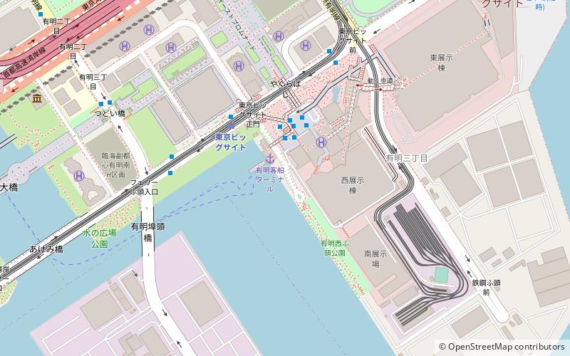
Map

Facts and practical information
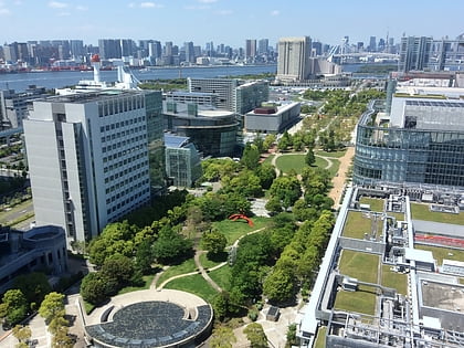
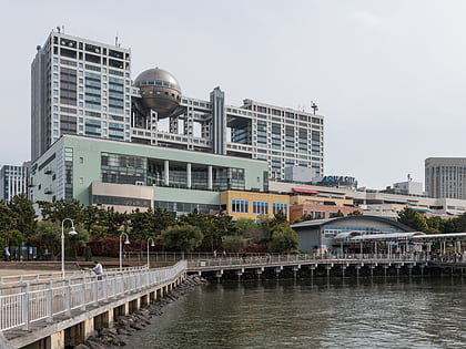
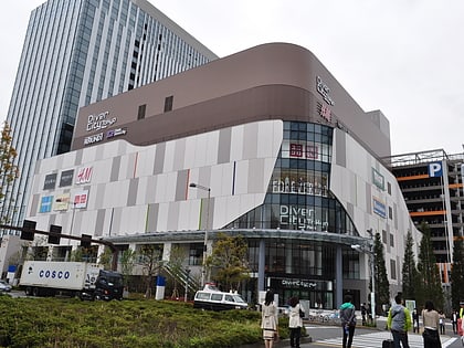
Ariake is a district in Kōtō, Tokyo, Japan. It is best known as the region adjacent to and directly east of Odaiba. Ariake is subdivided into four chome and comprises part of the Tokyo Bay Landfill No. 10 and Tokyo Rinkai Satellite City Center. As of April 2012 its population was 6,145. ()
Address
江東区 (有明)Tokyo
ContactAdd
Social media
Add
Day trips
Ariake – popular in the area (distance from the attraction)
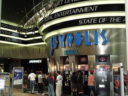
Nearby attractions include: Joypolis, Museum of Maritime Science, Miraikan, Mega Web.
Frequently Asked Questions (FAQ)
Which popular attractions are close to Ariake?
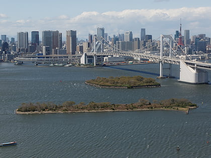
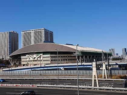
Nearby attractions include Tokyo Big Sight, Tokyo (3 min walk), Dream Bridge, Tokyo (13 min walk), Daikanransha, Tokyo (17 min walk), Mega Web, Tokyo (18 min walk).
How to get to Ariake by public transport?
The nearest stations to Ariake:
Bus
Light rail
Metro
Ferry
Bus
- Tokyo Big Sight • Lines: 国展08, 東16, 都05-2, 門19甲 (3 min walk)
- 東京ビッグサイト駅前 • Lines: 急行06, 東16, 都05-2 (4 min walk)
Light rail
- 東京ビッグサイト • Lines: U (4 min walk)
- Tokyo Big Sight • Lines: U (4 min walk)
Metro
- Kokusai-tenjijo • Lines: R (10 min walk)
- Tokyo Teleport • Lines: R (22 min walk)
Ferry
- 東京 • Lines: オーシャン東九フェリー(東京―徳島―北九州) (23 min walk)

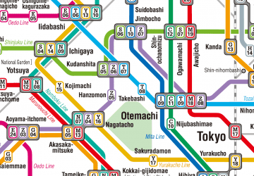 Metro
Metro