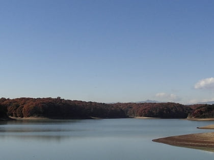
Sayama Prefectural Natural Park, Tokorozawa
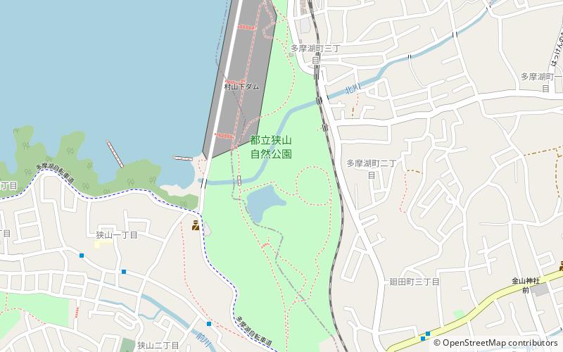
Map

Map

Facts and practical information
Local name: 東京都立狭山自然公園 Established: 15 March 1951 (74 years ago)Elevation: 325 ft a.s.l.Coordinates: 35°45'39"N, 139°26'31"E
Address
3-17-19 Tamako-cho東大和市 (dong da he shi)Tokorozawa 189-0026
Contact
+81 42-393-0154
Social media
Add
Day trips
Sayama Prefectural Natural Park – popular in the area (distance from the attraction)
Nearby attractions include: Seibuen Yuenchi, Seibu Dome, Arahata Fuji Shrine, Hachikokuyama.
Frequently Asked Questions (FAQ)
Which popular attractions are close to Sayama Prefectural Natural Park?
Nearby attractions include Seibuen Yuenchi, Tokorozawa (15 min walk), Arahata Fuji Shrine, Tokorozawa (24 min walk).
How to get to Sayama Prefectural Natural Park by public transport?
The nearest stations to Sayama Prefectural Natural Park:
Train
Light rail
Bus
Train
- Musashi-Yamato (9 min walk)
- Tamako (10 min walk)
Light rail
- Tamako • Lines: Sy (11 min walk)
- Seibuen-yūenchi • Lines: Sy (15 min walk)
Bus
- 奈良橋 • Lines: 梅70, 梅70-1 (27 min walk)
- 東京街道団地 • Lines: 立34 (29 min walk)


