Tanesashi Kaigan Hashikamidake Prefectural Natural Park
Map

Map

Facts and practical information
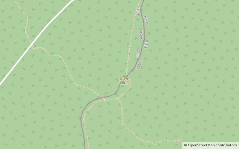
Tanesashi Kaigan Hashikamidake Prefectural Natural Park is a Prefectural Natural Park in southeast Aomori Prefecture, Japan. Established in 1953, the park spans the borders of the municipalities of Hachinohe and Hashikami. It derives its name from the Tanesashi Coast and Mount Hashikami. In 2013 the park was incorporated into Sanriku Fukkō National Park. ()
Established: 10 June 1953 (72 years ago)Elevation: 2392 ft a.s.l.Coordinates: 40°24'3"N, 141°35'2"E
Location
Aomori
ContactAdd
Social media
Add
Day trips
Tanesashi Kaigan Hashikamidake Prefectural Natural Park – popular in the area (distance from the attraction)
Nearby attractions include: Korekawa Archaeological Institution, Korekawa Site, Yomasari Dam, Hashikami.


