Yomasari Dam

Gallery (1)
Map
Map
Facts and practical information
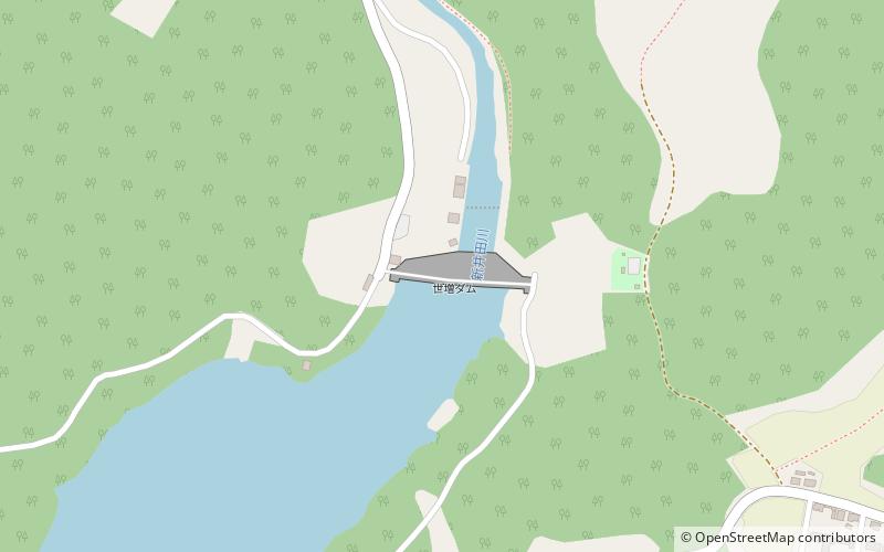
The Yomasari Dam is a dam on the Niida River, located in the city of Hachinohe, Aomori Prefecture in the Tōhoku region of northern Honshū, Japan. ()
Local name: 世増ダム Opened: 2003 (23 years ago)Length: 810 ftHeight: 171 ftReservoir area: 0.69 mi²Coordinates: 40°23'24"N, 141°28'48"E
Location
Aomori
ContactAdd
Social media
Add
Day trips

