Panemunė, Kaunas
Map

Map

Facts and practical information
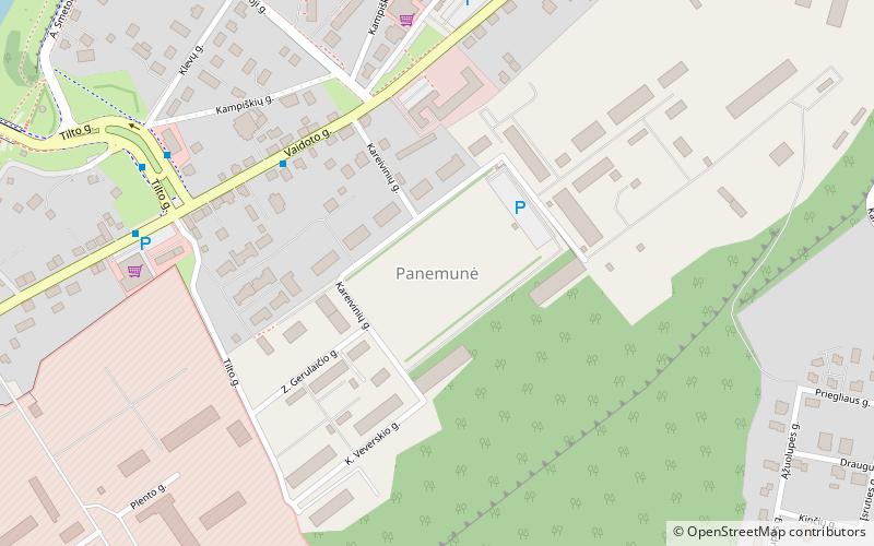
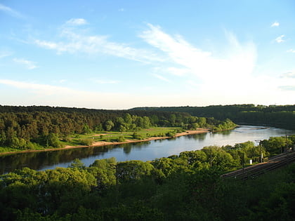
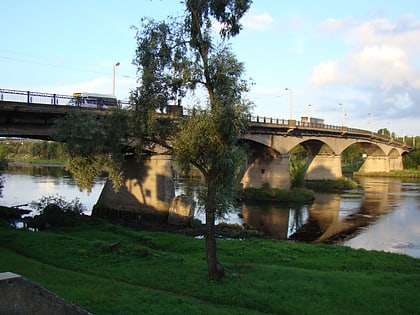
Panemunė is a neighborhood in the second-largest Lithuanian city of Kaunas. It was formally incorporated into Kaunas in 1931, and located on the left bank of the Nemunas River. It occupies 24.78 hectares with 22,140 inhabitants. The Panemunė elderate encompasses the neighbourhoods of Vaišvydava, Vičiūnai, Panemunė, and Rokai. ()
Address
Kaunas
ContactAdd
Social media
Add
Day trips
Panemunė – popular in the area (distance from the attraction)
Nearby attractions include: Church of the Most Sacred Heart of Jesus, Panemunes Park Beach, Šančiai, Panemunės paplūdimys.
Frequently Asked Questions (FAQ)
How to get to Panemunė by public transport?
The nearest stations to Panemunė:
Bus
Trolleybus
Bus
- Tilto g. • Lines: 3 (5 min walk)
- Mažoji g. • Lines: 3 (10 min walk)
Trolleybus
- Clinic of Sanciai • Lines: 1, 4 (36 min walk)


