Belair, Luxembourg

Gallery (1)
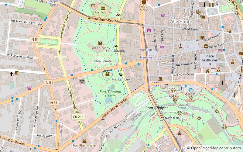
Map

Map
Facts and practical information
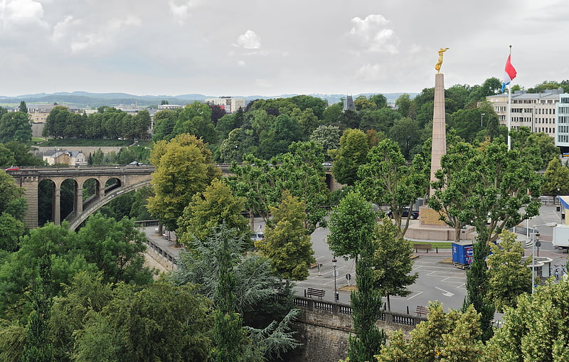
Belair is a quarter in western Luxembourg City, in southern Luxembourg. ()
Getting there by public transportation
Public transportation stops near this location
- Bus
- Tram
- Train
 Bus
Bus
- Calculate routeBelair, Kierch 2 min walk
- Calculate routeOradour 4 min walk
- Calculate routeAmsterdam 4 min walk
- Calculate routePlace de Liège 4 min walk
- Calculate routeCentre, Stäreplaz / Étoile 16 min walk
- Calculate routeLuxembourg, Hamilius 23 min walk
- Calculate routeLimpertsberg, Theater 25 min walk
- Calculate routeHollerich 32 min walk
- Calculate routePfaffenthal-Kirchberg 34 min walk
Day trips


Frequently Asked Questions (FAQ)
Which popular attractions are close to Belair?
Nearby attractions include Parc Merl, Luxembourg (8 min walk), Stade Josy Barthel, Luxembourg (10 min walk), Campus Geesseknäppchen, Luxembourg (12 min walk), St. Peter and Paul Church, Luxembourg (16 min walk).
How to get to Belair by public transport?
The nearest stations to Belair:
Bus
Tram
Train
Bus
- Belair, Kierch • Lines: 12, 13, 8, Cn7 (2 min walk)
- Oradour • Lines: 13, Cn7 (4 min walk)
Tram
- Centre, Stäreplaz / Étoile • Lines: T1 (16 min walk)
- Luxembourg, Hamilius • Lines: T1 (23 min walk)
Train
- Hollerich (32 min walk)
- Pfaffenthal-Kirchberg (34 min walk)