La Preneuse, Mauritius Island
Map
Map

Facts and practical information
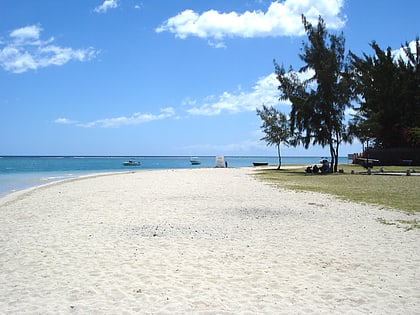
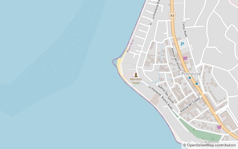
La Preneuse is a public beach in western coast of the island Mauritius in the district of Rivière Noire located in the village of Black River. It was named after a French ship, the frigate Preneuse, which served as a commerce raider at Isle de France and was also involved in a naval battle with the British in the 18th century. The beach is home to the best preserved Martello tower in Mauritius. ()
Coordinates: 20°21'17"S, 57°21'38"E
Address
Mauritius Island
ContactAdd
Social media
Add
Day trips
La Preneuse – popular in the area (distance from the attraction)
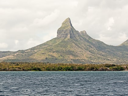
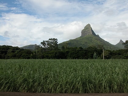
Nearby attractions include: Flic en Flac, La Preneuse, Rempart Mountain, Tamarin.


