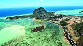
La Preneuse, Mauritius Island
Map
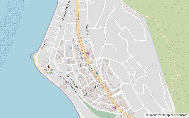
Map

Facts and practical information
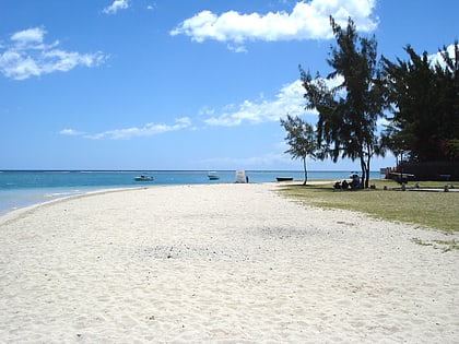
La Preneuse is a public beach in western coast of the island Mauritius in the district of Rivière Noire located in the village of Black River. It was named after a French ship, the frigate Preneuse, which served as a commerce raider at Isle de France and was also involved in a naval battle with the British in the 18th century. The beach is home to the best preserved Martello tower in Mauritius. ()
Coordinates: 20°21'14"S, 57°21'58"E
Address
Mauritius Island
ContactAdd
Social media
Add
Day trips
La Preneuse – popular in the area (distance from the attraction)
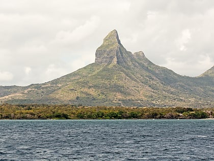
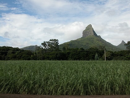
Nearby attractions include: Flic en Flac, Rempart Mountain, Tamarin, Little Black River Peak.
Frequently Asked Questions (FAQ)
Which popular attractions are close to La Preneuse?
Nearby attractions include La Preneuse, Mauritius Island (9 min walk), Rempart Mountain, Mauritius Island (17 min walk).
