Rivière Noire District, Mauritius Island
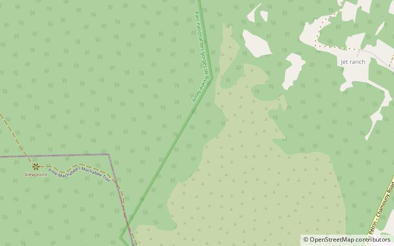
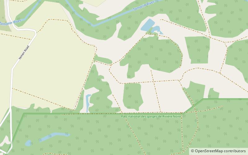
Map
Map

Facts and practical information
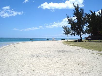
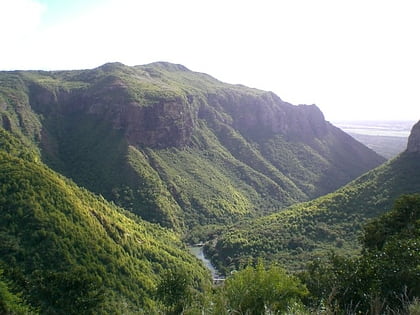
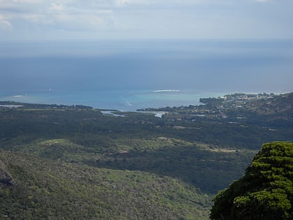
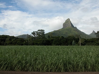
Rivière Noire or Black River is a district on the western side of the island of Mauritius. Rivière Noire translates to Black River. This region receives less rainfall than the others. The district has an area of 259 square kilometres and the population estimate was 80,939 as of 31 December 2015. It is the third largest District of Mauritius in area, but the smallest in terms of population. The district is mostly rural, but it also include the western part of the city of Port Louis and western part of Quatre Bornes. ()
Address
Mauritius Island
ContactAdd
Social media
Add
Day trips
Rivière Noire District – popular in the area (distance from the attraction)
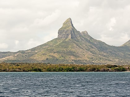
Nearby attractions include: Flic en Flac, La Preneuse, Tamarind Falls, Piton de la Petite Rivière Noire.


