Initial Point of Boundary Between U.S. and Mexico, Tijuana

Facts and practical information
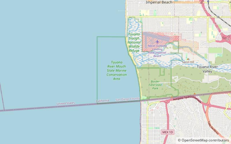
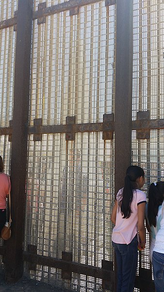
The starting point of the border between the United States and Mexico, located in the city of Tijuana, is a place of extraordinary historical and symbolic significance. This monument commemorates the location where, in 1848, after the end of the Mexican-American War, the border was established under the Treaty of Guadalupe Hidalgo.
This point, serving as both a testament to historical struggles and a reference for contemporary surveyors, marks the physical delineation of a border that stretches over 3,000 kilometers. It is an important symbol for both nations, reminding us of a complex past and the need for cooperation on border issues.
The border monument is frequently visited by both residents of Tijuana and tourists from around the world. They come to see the place that marked the beginning of a new era in the relations between neighboring countries. For many, it is also an opportunity to reflect on contemporary challenges related to migration and cultural exchange.
Playas de Tijuana (Sección Monumental)Tijuana