Nestor, Tijuana
Map
Map

Facts and practical information
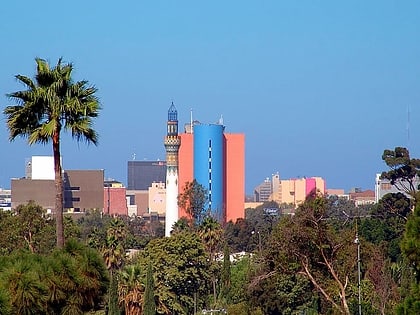
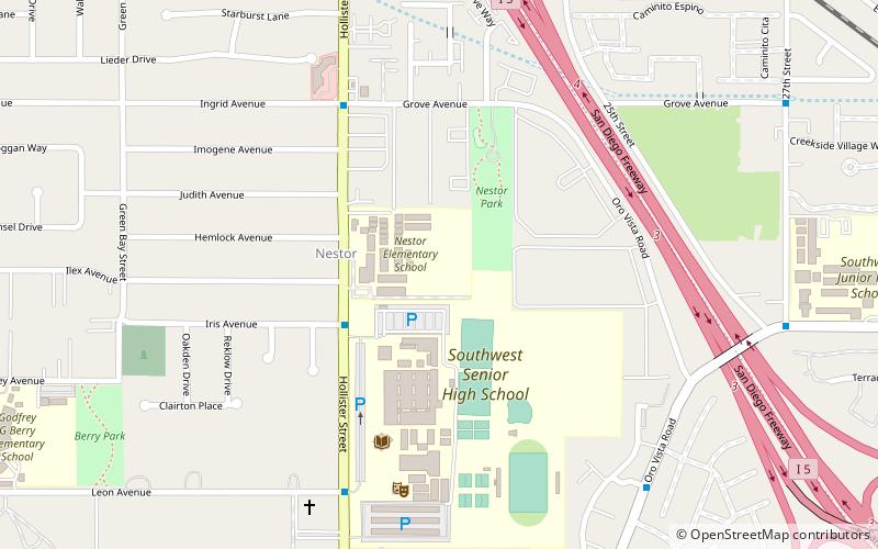
Nestor is a residential neighborhood in the southern section of San Diego, and part of the Otay Mesa-Nestor community planning area. It neighbors Palm City and Otay Mesa West to the east, Egger Highlands to the north, San Ysidro to the southeast and the Tijuana River Valley to the south. Major thoroughfares include Coronado Avenue, Saturn Boulevard, Hollister Street, and Tocayo Avenue. ()
Coordinates: 32°34'12"N, 117°4'56"W
Address
Tijuana
ContactAdd
Social media
Add
Day trips
Nestor – popular in the area (distance from the attraction)
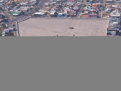
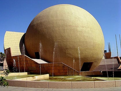
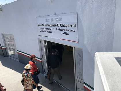
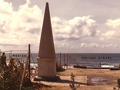
Nearby attractions include: Club Campestre de Tijuana, Bullring by the Sea, Tijuana Cultural Center, El Chaparral.


