Centro Regional de Aguascalientes, Aguascalientes
Facts and practical information
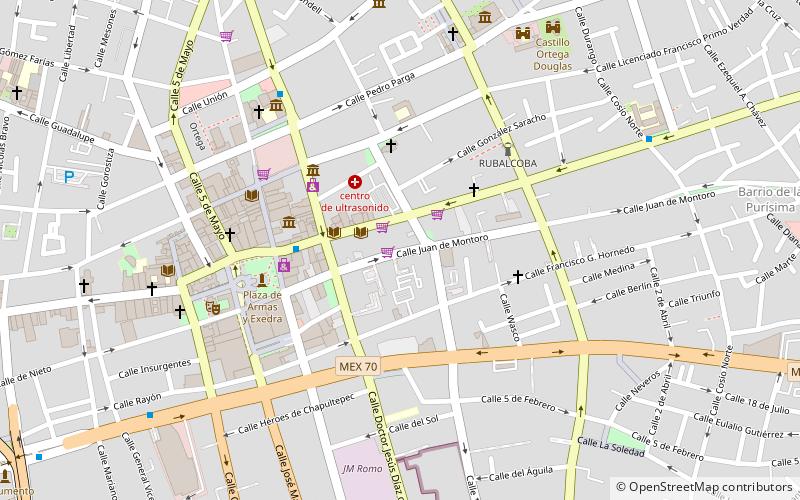
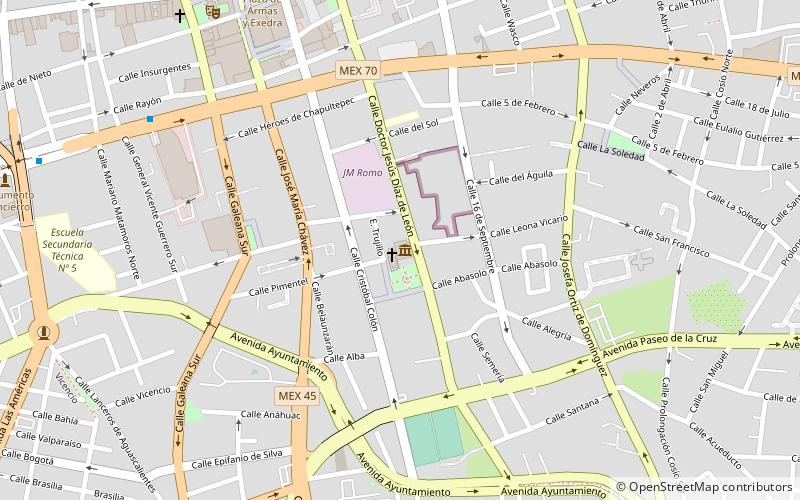
Centro Regional de Aguascalientes (address: 226 Calle Juan de Montoro) is a place located in Aguascalientes (Aguascalientes state) and belongs to the category of museum.
It is situated at an altitude of 6142 feet, and its geographical coordinates are 21°52'53"N latitude and 102°17'35"W longitude.
Planning a visit to this place, one can easily and conveniently get there by public transportation. Centro Regional de Aguascalientes is a short distance from the following public transport stations: Estacion de Ferrocarril (train, 22 min walk), Central de Autobuses (bus, 31 min walk).
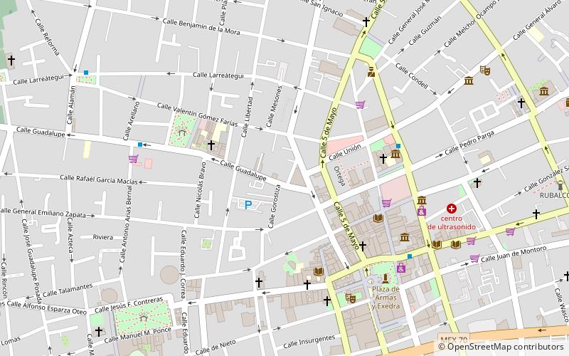
Among other places and attractions worth visiting in the area are: Museum of Contemporary Art (museum, 5 min walk), Plaza de la Patria (park, 6 min walk), Palacio de Gobierno (memorial, 6 min walk).
226 Calle Juan de MontoroAguascalientes
- Bus
- Train
 Bus
Bus
- Calculate routeEstacion de Ferrocarril 22 min walk
- Calculate routeCentral de Autobuses 31 min walk


Frequently Asked Questions (FAQ)
Which popular attractions are close to Centro Regional de Aguascalientes?
How to get to Centro Regional de Aguascalientes by public transport?
Train
- Estacion de Ferrocarril (22 min walk)
Bus
- Central de Autobuses (31 min walk)