El Encino, Aguascalientes
Facts and practical information
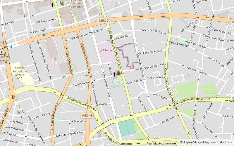
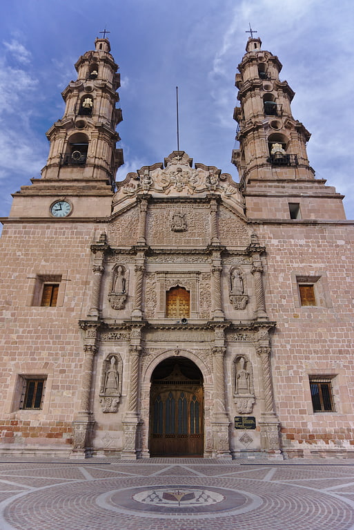
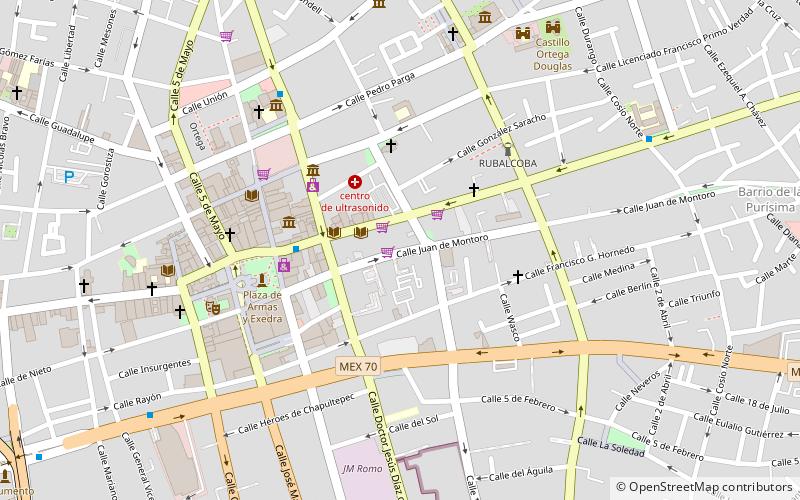
El Encino (address: Jardin del Encino) is a place located in Aguascalientes (Aguascalientes state) and belongs to the category of garden, church.
It is situated at an altitude of 6138 feet, and its geographical coordinates are 21°52'31"N latitude and 102°17'35"W longitude.
Planning a visit to this place, one can easily and conveniently get there by public transportation. El Encino is a short distance from the following public transport stations: Central de Autobuses (bus, 21 min walk), Estacion de Ferrocarril (train, 27 min walk).
Among other places and attractions worth visiting in the area are: José Guadalupe Posada Museum (museum, 1 min walk), Palacio de Gobierno (memorial, 10 min walk), Centro Regional de Aguascalientes (museum, 11 min walk).
- Bus
- Train
 Bus
Bus
- Calculate routeCentral de Autobuses 21 min walk
- Calculate routeEstacion de Ferrocarril 27 min walk


Frequently Asked Questions (FAQ)
Which popular attractions are close to El Encino?
How to get to El Encino by public transport?
Bus
- Central de Autobuses (21 min walk)
Train
- Estacion de Ferrocarril (27 min walk)