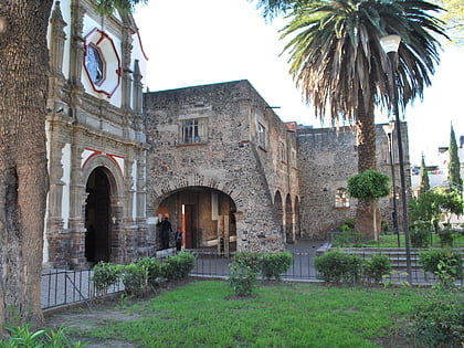
Iztapalapa, Mexico City
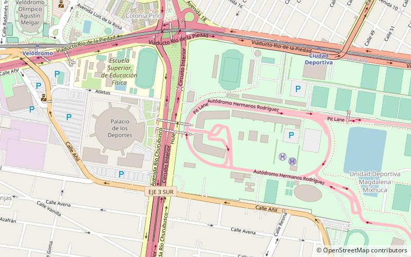
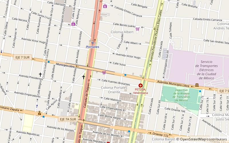
Map
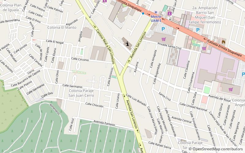
Map

Facts and practical information
Iztapalapa is a borough in the Mexico City, located on the east side of the entity. The borough is named after and centered on the formerly independent municipality of Iztapalapa, which is officially called Iztapalapa de Cuitláhuac for disambiguation purposes. The rest is made up of a number of other communities which are governed by the city of Iztapalapa. ()
Day trips
Iztapalapa – popular in the area (distance from the attraction)
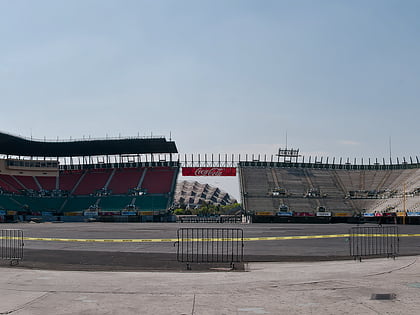
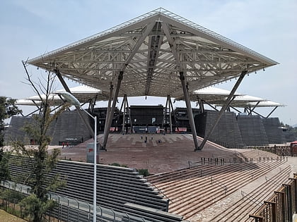
Nearby attractions include: Foro Sol, Lake Xochimilco, Cerro de la Estrella Archaeological Site, Estadio Alfredo Harp Helú.
Frequently Asked Questions (FAQ)
How to get to Iztapalapa by public transport?
The nearest stations to Iztapalapa:
Metro
Bus
Train
Metro
- Uam-I • Lines: 8 (9 min walk)
- Cerro de la Estrella • Lines: 8 (22 min walk)
Bus
- CETRAM Constitución de 1917 (22 min walk)
- Paradero Metro Iztapalapa (34 min walk)
Train
- Metro Iztapalapa (33 min walk)

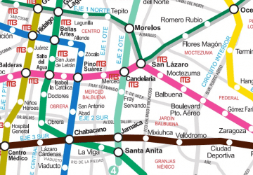 Metro
Metro