Cerro Prieto Fault, Tijuana
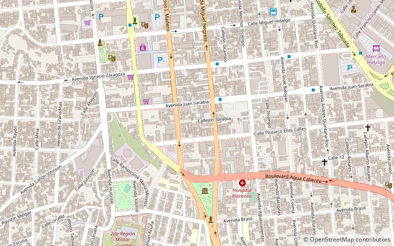
Map
Facts and practical information
The Cerro Prieto Fault is a transform fault located in far northern Baja California. It runs between the Cerro Prieto spreading center located southwest of Mexicali, and the Wagner Basin, another spreading center which lies under the Gulf of California. These spreading centers are part of the East Pacific Rise, the northern leg of which has formed the Gulf of California by steadily rifting the Baja California Peninsula away from the mainland of Mexico. ()
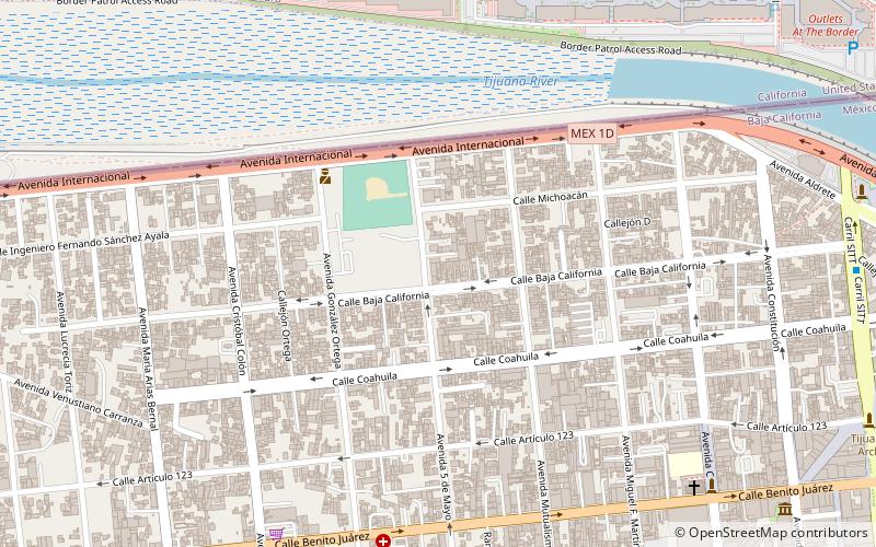
Coordinates: 32°31'30"N, 117°1'60"W
Address
Centro (Zona Centro)Tijuana
ContactAdd
Social media
Add
Day trips
Cerro Prieto Fault – popular in the area (distance from the attraction)
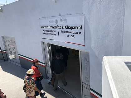
Nearby attractions include: Tijuana Cultural Center, El Chaparral, Zona Río, New City Residential.
Frequently Asked Questions (FAQ)
Which popular attractions are close to Cerro Prieto Fault?
Nearby attractions include Tijuana Cultural Center, Tijuana (18 min walk), Museo de Cera, Tijuana (21 min walk), Museo de las Californias, Tijuana (22 min walk).
How to get to Cerro Prieto Fault by public transport?
The nearest stations to Cerro Prieto Fault:
Bus
Bus
- Seminario • Lines: T101 (3 min walk)
- Negrete • Lines: T102 (5 min walk)
