Peak 38, Sagarmatha National Park

Gallery (1)
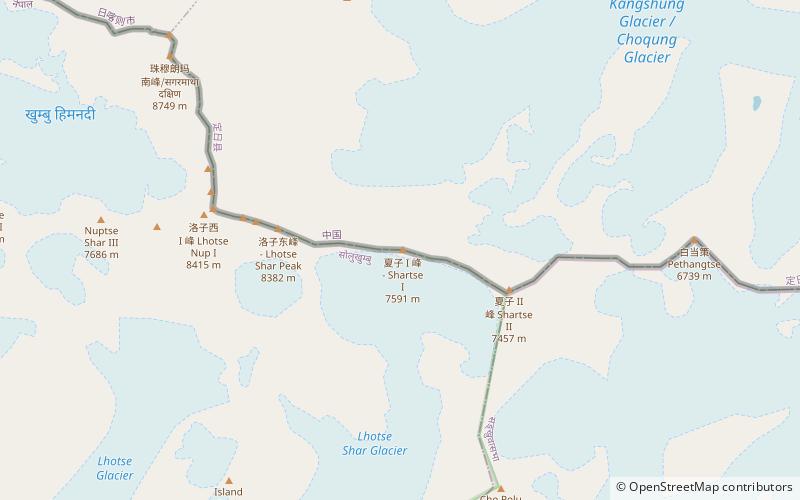
Map
Map
Facts and practical information
Peak 38 is a place located in Sagarmatha National Park (East development region) and belongs to the category of mountain.
It is situated at an altitude of 24721 feet, and its geographical coordinates are 27°57'20"N latitude and 86°57'53"E longitude.
Among other places and attractions worth visiting in the area are: Lhotse Shar, Qomolangma (nature, 34 min walk), Lhotse (natural attraction, 51 min walk), Cho Polu (nature, 69 min walk).
Coordinates: 27°57'20"N, 86°57'53"E
Address
Sagarmatha National Park
ContactAdd
Social media
Add
Day trips


