HBS Craeyenhout, The Hague

Gallery (1)
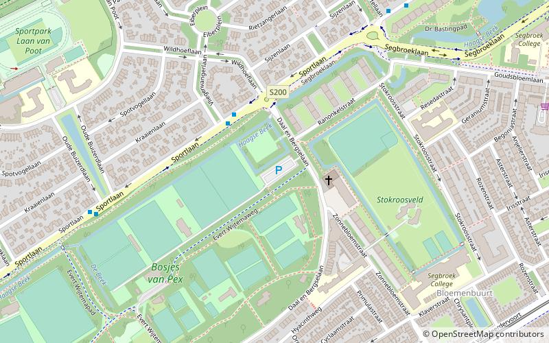
Map
Map
Facts and practical information
HBS Craeyenhout is a omnisports club based in The Hague that fields teams in association football, cricket and hockey. The club is best known for its association football team based in The Hague, a part of the wider HBS Craeyenhout sports club. One of the original clubs of Dutch football, and three times national champions, the club refused to enter into professionalism in the 1950s and has played at the amateur level ever since. It currently plays in the Hoofdklasse. ()
Address
Evert Wijtemaweg1Bohemen en Meer en Bos (Bosjes van Pex)The Hague
ContactAdd
Social media
Add
Getting there by public transportation
Public transportation stops near this location
- Bus
- Tram
 Bus
Bus
- Calculate routeVliegenvangerlaan 3 min walk
- Calculate routeOude Buizerdlaan 7 min walk
- Calculate routeKwartellaan 7 min walk
- Calculate routeDe Savornin Lohmanlaan 13 min walk
- Calculate routeZonnebloemstraat 9 min walk
- Calculate routeAppelstraat 10 min walk
- Calculate routeAzaleastraat 12 min walk
- Calculate routeSportlaan 14 min walk
Day trips


Frequently Asked Questions (FAQ)
Which popular attractions are close to HBS Craeyenhout?
Nearby attractions include Segbroek, The Hague (12 min walk), Oud Eik en Duinen, The Hague (20 min walk).
How to get to HBS Craeyenhout by public transport?
The nearest stations to HBS Craeyenhout:
Bus
Tram
Bus
- Vliegenvangerlaan • Lines: 24 (3 min walk)
- Oude Buizerdlaan • Lines: 24 (7 min walk)
Tram
- Zonnebloemstraat • Lines: 3, 34 (9 min walk)
- Appelstraat • Lines: 3, 34 (10 min walk)