IJburg, Amsterdam
Map

Gallery

Facts and practical information
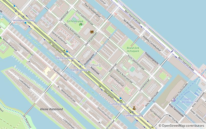
IJburg is a residential neighbourhood under construction in Amsterdam, Netherlands. It is situated in the IJmeer and is being built on artificial islands which have been raised from the lake. The Haveneiland, Rieteilanden, Steigereiland and Centrumeiland are already inhabited as of 2004. It is part of the municipality Amsterdam-Oost and also contains the Diemerpark, one of the city's largest parks. ()
Address
Zeeburg (IJburg West)Amsterdam
ContactAdd
Social media
Add
Day trips
IJburg – popular in the area (distance from the attraction)
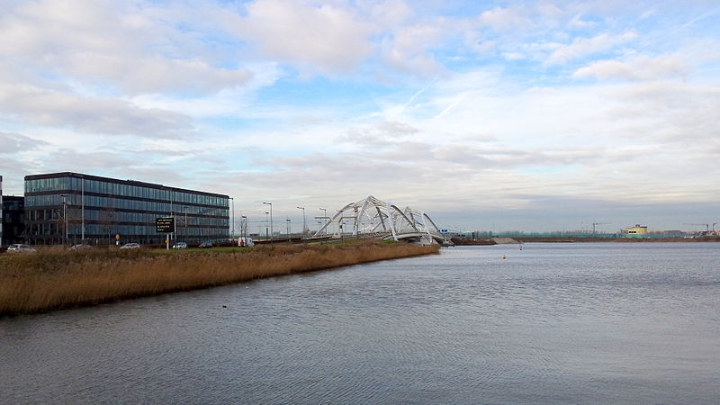
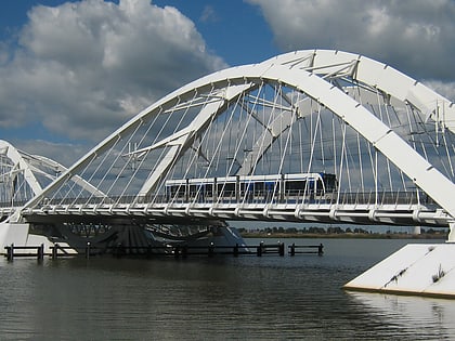
Nearby attractions include: Nesciobrug, Enneüs Heerma Bridge, Jewish Cemetery of Diemen, Vuurtoreneiland.
Frequently Asked Questions (FAQ)
Which popular attractions are close to IJburg?
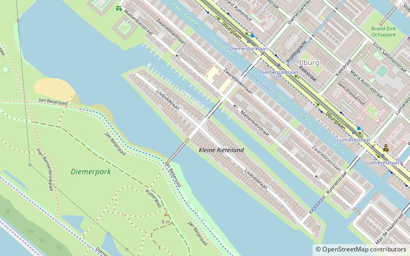
Nearby attractions include Rieteilanden, Amsterdam (7 min walk), WV IJburg, Amsterdam (9 min walk), Steigereiland, Amsterdam (23 min walk).
How to get to IJburg by public transport?
The nearest stations to IJburg:
Bus
Tram
Ferry
Bus
- Diemerparklaan • Lines: 66, N89 (3 min walk)
- Lumièrestraat • Lines: 66, N89 (6 min walk)
Tram
- Diemerparklaan • Lines: 26 (3 min walk)
- Lumièrestraat • Lines: 26 (5 min walk)
Ferry
- Haven IJburg (8 min walk)

 Metro / Trams


