Vuurtoreneiland, Amsterdam

Gallery (1)
Map
Map
Facts and practical information
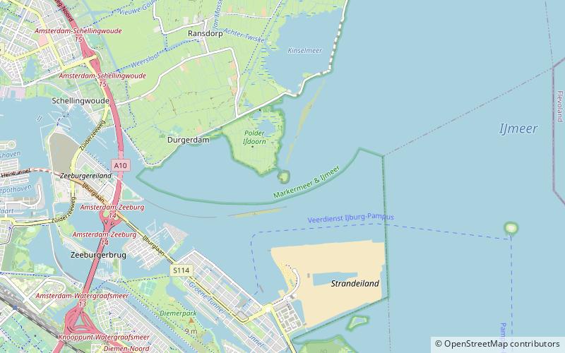
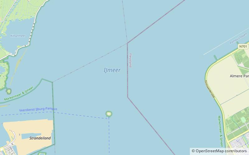
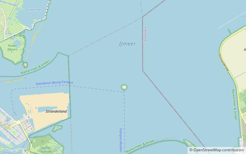
Vuurtoreneiland is a small island in the IJmeer, Netherlands, just off the coast of Durgerdam. The island's main function is as a base for a lighthouse; a military fort on the island was abandoned in the 1930s. ()
Address
Amsterdam
ContactAdd
Social media
Add
Getting there by public transportation
Public transportation stops near this location
- Bus
- Tram
 Bus
Bus
- Calculate routeVennepluimstraat 36 min walk
- Calculate routeVennepluimstraat 36 min walk
Maps Metro / Trams
Metro / TramsDay trips


Frequently Asked Questions (FAQ)
How to get to Vuurtoreneiland by public transport?
The nearest stations to Vuurtoreneiland:
Bus
Tram
Bus
- Vennepluimstraat • Lines: 66, N89 (36 min walk)
Tram
- Vennepluimstraat • Lines: 26 (36 min walk)