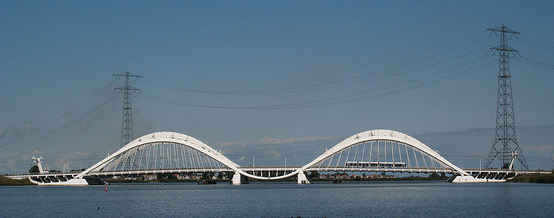
Enneüs Heerma Bridge, Amsterdam
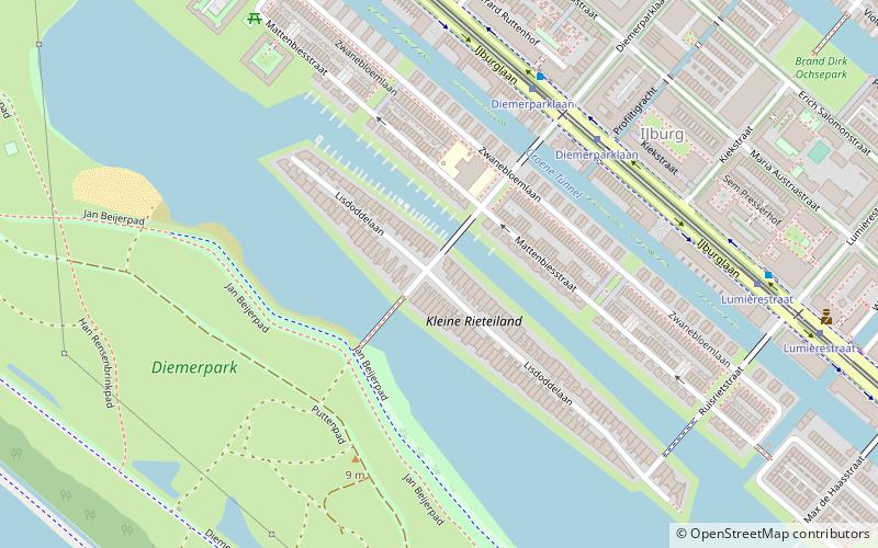
Map
Gallery
Facts and practical information
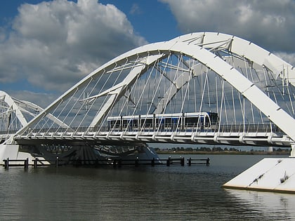
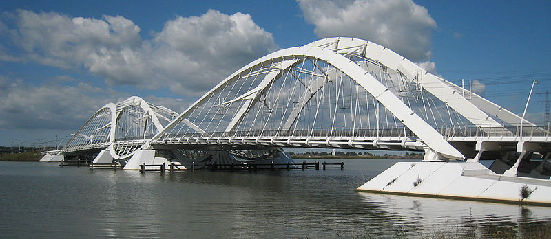
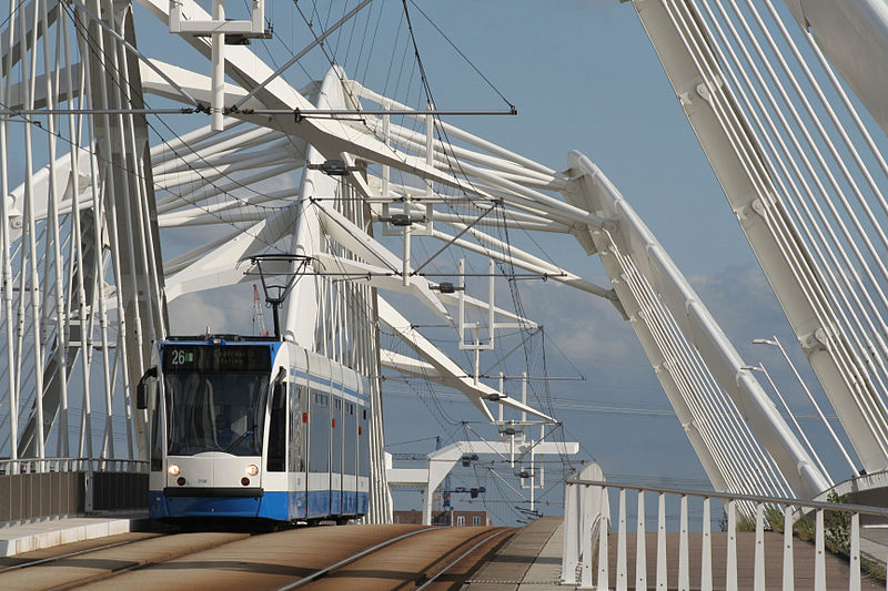
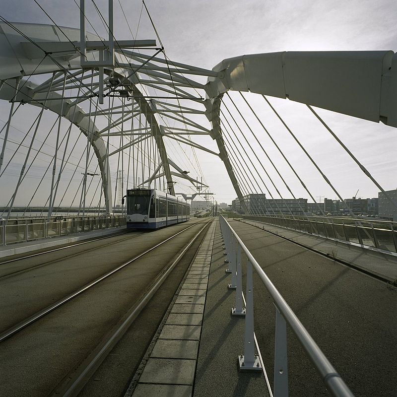
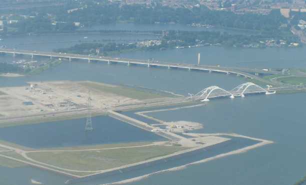
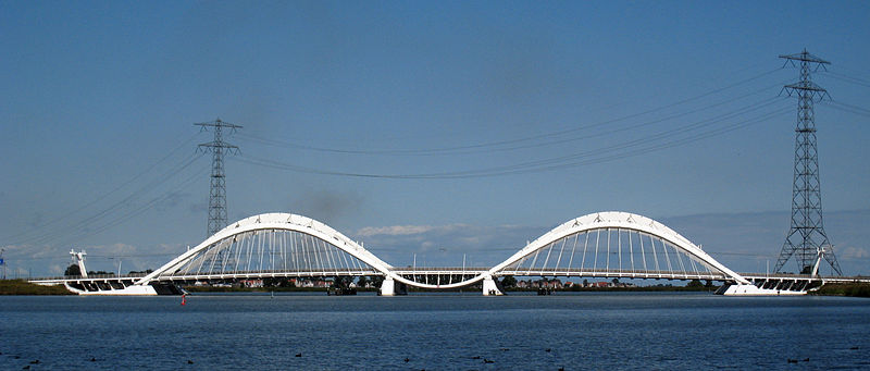
The Enneüs Heerma Bridge is a bridge in Amsterdam, Netherlands located in the new neighbourhood of IJburg, built on seven artificial islands in the IJmeer. It connects the district of Zeeburgereiland, on the eastern edge of the city, with Steigereiland, to the south. ()
Local name: Enneüs Heermabrug Opened: 2001 (25 years ago)Length: 755 ftWidth: 125 ftHeight: 85 ftCoordinates: 52°21'54"N, 4°58'36"E
Address
Amsterdam
ContactAdd
Social media
Add
Day trips
Enneüs Heerma Bridge – popular in the area (distance from the attraction)
Nearby attractions include: Nesciobrug, Python Bridge, Flevopark, Scheepstimmermanstraat.
Frequently Asked Questions (FAQ)
Which popular attractions are close to Enneüs Heerma Bridge?
Nearby attractions include Steigereiland, Amsterdam (7 min walk), Holland Sport Boat Centre, Amsterdam (14 min walk), Nesciobrug, Amsterdam (16 min walk), Zeeburgereiland, Amsterdam (19 min walk).
How to get to Enneüs Heerma Bridge by public transport?
The nearest stations to Enneüs Heerma Bridge:
Bus
Tram
Ferry
Bus
- Steigereiland • Lines: N89 (6 min walk)
- Bob Haarmslaan • Lines: N89 (12 min walk)
Tram
- Steigereiland • Lines: 26 (6 min walk)
- Bob Haarmslaan • Lines: 26 (12 min walk)
Ferry
- Haven IJburg (36 min walk)


 Metro / Trams


