Piet Hein Tunnel, Amsterdam
Map

Map

Facts and practical information
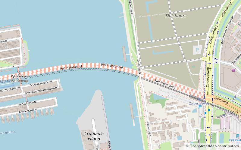
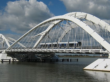
The Piet Hein Tunnel is a 1.9 km long tunnel under the IJ in Amsterdam, the Netherlands. It provides a road link running east–west between the city center and the A10 ring-road, and since May 2005 also provides a tram link between the Amsterdam Centraal railway station and Haveneiland, IJburg. Completed in 1997, the tunnel, approaches and related buildings were designed by the hypermodernist Dutch architectural firm Van Berkel + Bos, and was named after the Dutch naval hero Piet Hein. ()
Address
Zeeburg (Zeeburgereiland en Nieuwe Diep)Amsterdam
ContactAdd
Social media
Add
Day trips
Piet Hein Tunnel – popular in the area (distance from the attraction)
Nearby attractions include: Dappermarkt, Press Museum, Nesciobrug, Python Bridge.
Frequently Asked Questions (FAQ)
Which popular attractions are close to Piet Hein Tunnel?
Nearby attractions include Scheepstimmermanstraat, Amsterdam (8 min walk), Python Bridge, Amsterdam (8 min walk), Zeeburgereiland, Amsterdam (10 min walk), Holland Sport Boat Centre, Amsterdam (14 min walk).
How to get to Piet Hein Tunnel by public transport?
The nearest stations to Piet Hein Tunnel:
Tram
Bus
Ferry
Train
Tram
- Zuiderzeeweg • Lines: 26 (7 min walk)
- Flevopark • Lines: 14, 3 (15 min walk)
Bus
- Zuiderzeeweg • Lines: 245, 37, N89 (8 min walk)
- R.J.H. Fortuynplein • Lines: 43 (11 min walk)
Ferry
- Veer Zamenhofstraat • Lines: F1 (35 min walk)
Train
- Amsterdam Muiderpoort (35 min walk)

 Metro / Trams


