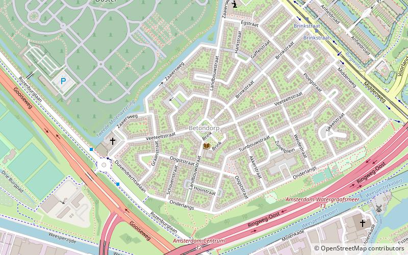
Betondorp, Amsterdam

Gallery (1)
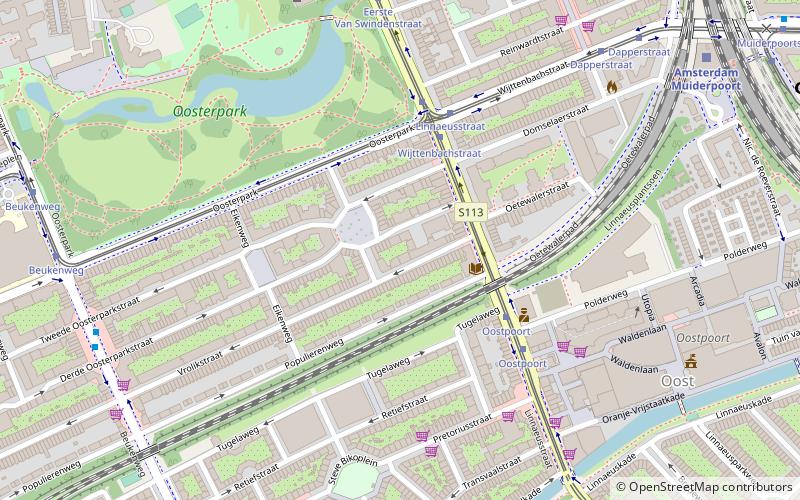
Map
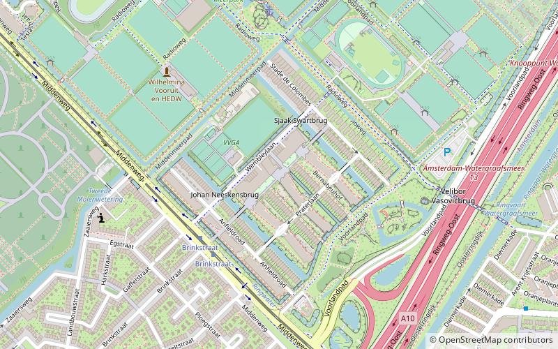
Map
Facts and practical information
Betondorp is a neighbourhood of Amsterdam, Netherlands. It was built in the 1920s as an experiment in building affordable housing with new, cheap building materials, chiefly concrete. ()
Address
Stadsdeel Oost (Betondorp)Amsterdam
ContactAdd
Social media
Add
Getting there by public transportation
Public transportation stops near this location
- Metro
- Bus
- Tram
- Train
 Metro
Metro
- Calculate routeZaaiersweg 5 min walk
- Calculate routeBrinkstraat 7 min walk
- Calculate routeIndustrieweg 9 min walk
- Calculate routeBrinkstraat 7 min walk
- Calculate routeKruislaan 14 min walk
- Calculate routeArent Krijtsstraat 14 min walk
- Calculate routeAmsterdam Science Park 23 min walk
- Calculate routeDiemen 28 min walk
- Calculate routeStation Diemen Zuid 23 min walk
- Calculate routeVan der Madeweg 24 min walk
- Calculate routeSpaklerweg 25 min walk
Maps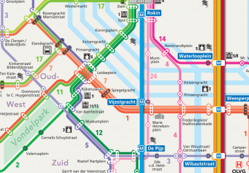 Metro / Trams
Metro / TramsDay trips


Frequently Asked Questions (FAQ)
Which popular attractions are close to Betondorp?
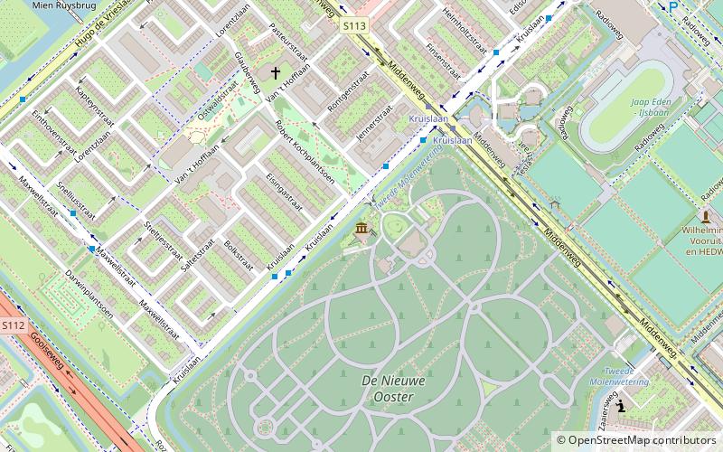
Nearby attractions include Museum tot zover, Amsterdam (12 min walk), Watergraafsmeer, Amsterdam (18 min walk), Amsteldorp, Amsterdam (20 min walk), Diemen, Amsterdam (22 min walk).
How to get to Betondorp by public transport?
The nearest stations to Betondorp:
Bus
Tram
Train
Metro
Bus
- Zaaiersweg • Lines: 41 (5 min walk)
- Brinkstraat • Lines: 320, 322, 327, N22, N87 (7 min walk)
Tram
- Brinkstraat • Lines: 19 (7 min walk)
- Kruislaan • Lines: 19 (14 min walk)
Train
- Amsterdam Science Park (23 min walk)
- Diemen (28 min walk)
Metro
- Station Diemen Zuid • Lines: 53 (23 min walk)
- Van der Madeweg • Lines: 50, 53, 54 (24 min walk)