Sugarloaf, Christchurch
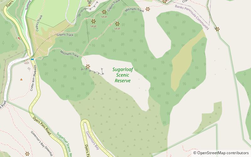
Map
Map

Facts and practical information
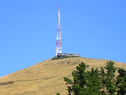
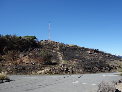
Te Heru o Kahukura / Sugarloaf is a landmark in the Port Hills to the south of the city of Christchurch in New Zealand. The Māori part of the name means the headcomb of Kahukura. The Sugarloaf communications tower is an iconic radio and television transmission mast located on top of the hill. ()
Elevation: 1620 ftCoordinates: 43°36'26"S, 172°39'7"E
Address
Christchurch
ContactAdd
Social media
Add
Day trips
Sugarloaf – popular in the area (distance from the attraction)
Nearby attractions include: Bridle Path, Halswell Quarry Park, Mount Cavendish, Ferrymead Heritage Park.
