Cass Peak, Governors Bay
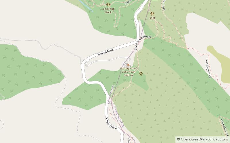
Map
Gallery
Facts and practical information
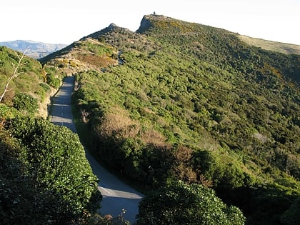
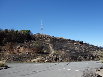
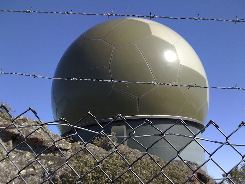
Ōrongomai / Cass Peak is a hill in the western Port Hills in Christchurch, New Zealand. Its most notable feature is a radar dome that was built on the peak in the late 1980s, which is used for aircraft positioning services. ()
Elevation: 1788 ftCoordinates: 43°38'11"S, 172°37'23"E
Address
Governors Bay
ContactAdd
Social media
Add
Day trips
Cass Peak – popular in the area (distance from the attraction)
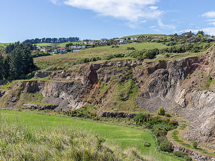
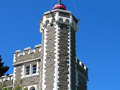
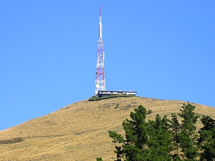
Nearby attractions include: Bridle Path, Halswell Quarry Park, Lyttelton Timeball Station, Sugarloaf.
