Sandymount
Map
Map

Facts and practical information
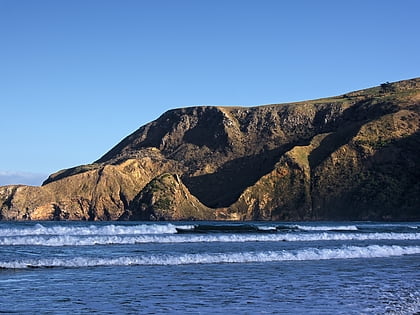
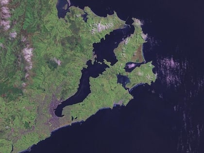
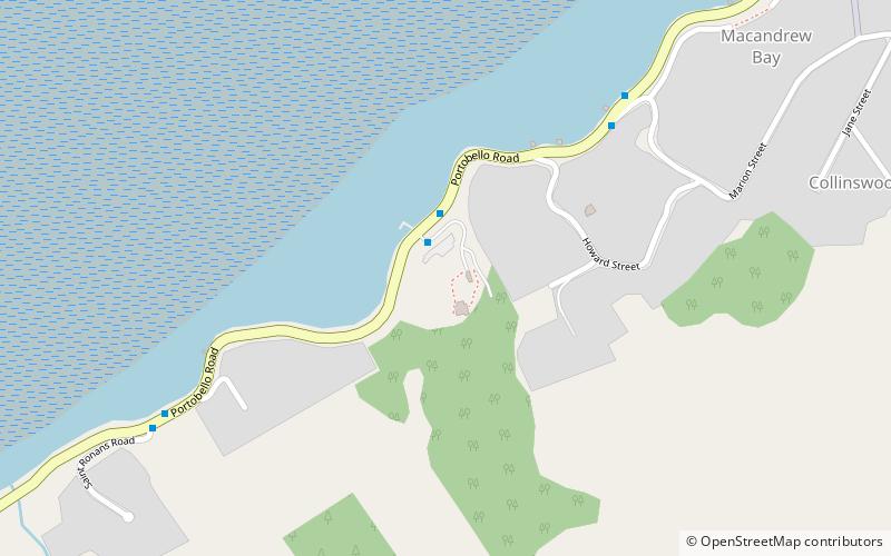
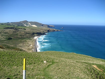
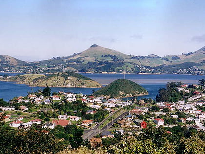
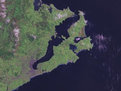
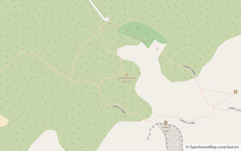
Sandymount is the name of a prominent hill on Otago Peninsula, in the southeastern South Island of New Zealand. It is 13 kilometres east of the city centre of Dunedin, close to the northeastern end of Sandfly Bay, and rises to a height of 312 metres. The eastern side of the hill meets the Pacific Ocean in a series of high cliffs and chasms, some of which are among the largest in New Zealand. Prominent among these are Lover's Leap and The Chasm, the former of which is 224 metres high. ()
Coordinates: 45°53'28"S, 170°40'19"E
Location
Otago
ContactAdd
Social media
Add
Day trips
Sandymount – popular in the area (distance from the attraction)
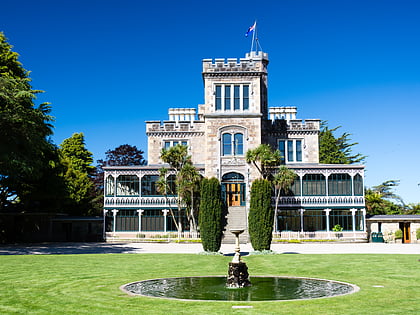
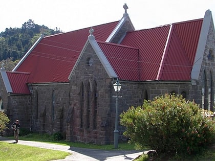
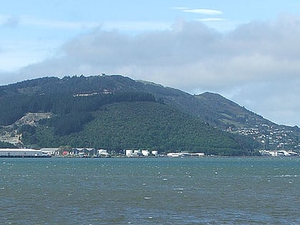
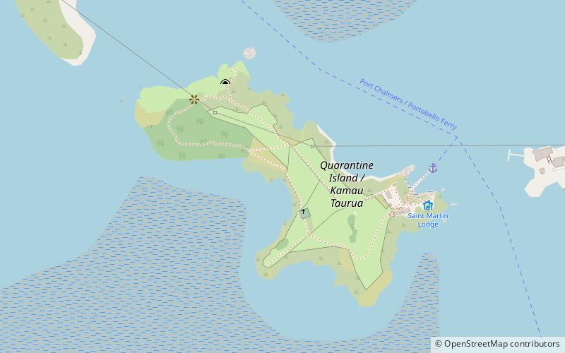
Nearby attractions include: Larnach Castle, Holy Trinity Church, Otago Peninsula, Glenfalloch Gardens.
