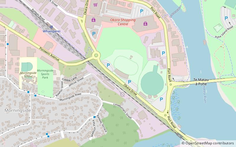
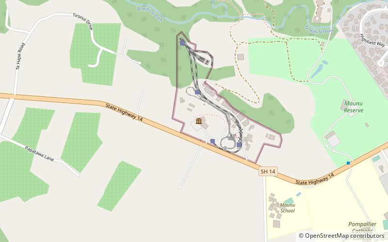
Toll Stadium, Whangārei
Map
Facts and practical information
Okara Park, currently known commercially as Semenoff Stadium is a multi-purpose stadium in Whangarei, New Zealand. It is currently used mostly for rugby union matches and is the home stadium of Northland Rugby Union. The stadium is able to hold 18,500 people and was built in 1965. ()
Getting there by public transportation
Public transportation stops near this location
- Bus
- Train
 Bus
Bus
- Calculate routeWhangarei 9 min walk
- Calculate routeDent Street Bus Station 18 min walk
Day trips


Frequently Asked Questions (FAQ)
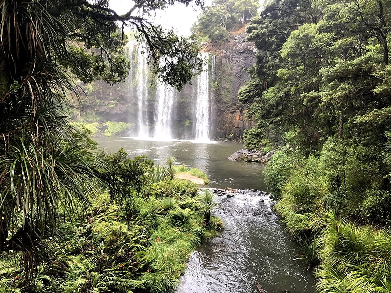
Which popular attractions are close to Toll Stadium?
Nearby attractions include Claphams National Clock Museum, Whangārei (18 min walk), Whangārei Central, Whangārei (18 min walk).
How to get to Toll Stadium by public transport?
The nearest stations to Toll Stadium:
Train
Bus
Train
- Whangarei (9 min walk)
Bus
- Dent Street Bus Station (18 min walk)