Scandrett Regional Park
Map

Map

Facts and practical information
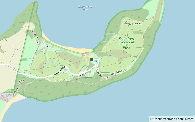
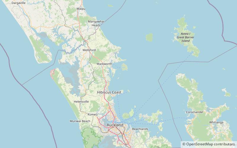
Scandrett Regional Park is a regional park located on the north east tip of the Mahurangi Peninsula, north of the city of Auckland, New Zealand. It encompasses Mullet Point and includes regenerating coastal forest, rocky headlands that protrude into Kawau Bay, Scandretts Bay beach and a precinct of historic farm buildings. The total area of land is 44.4 hectares or 100 acres. The people of Auckland own the park through the Auckland Council. ()
Created: 26 September 2004Elevation: 69 ft a.s.l.Coordinates: 36°26'35"S, 174°46'26"E
Location
Auckland
ContactAdd
Social media
Add
Day trips
Scandrett Regional Park – popular in the area (distance from the attraction)
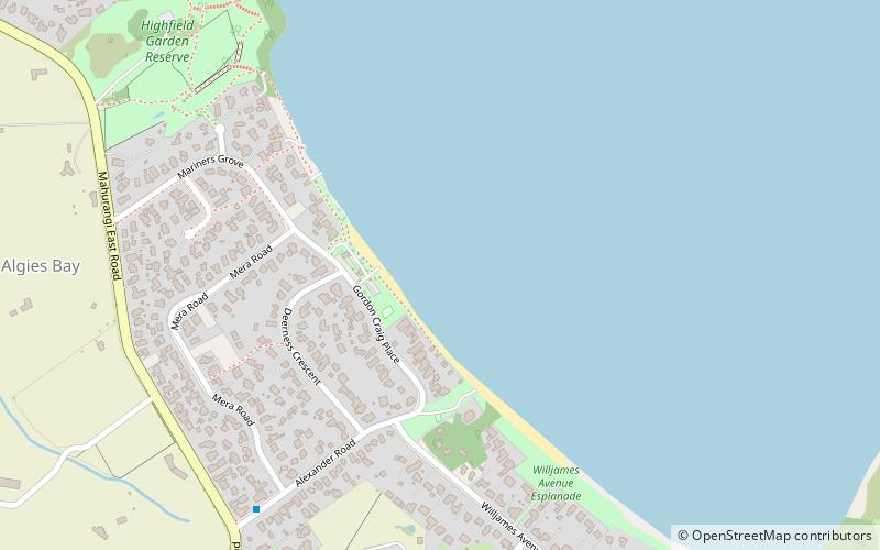
Nearby attractions include: Mansion House, Smelting House ruins, Pumphouse ruins, Snells Beach.


