Algies Bay
#788 among destinations in New Zealand
Facts and practical information
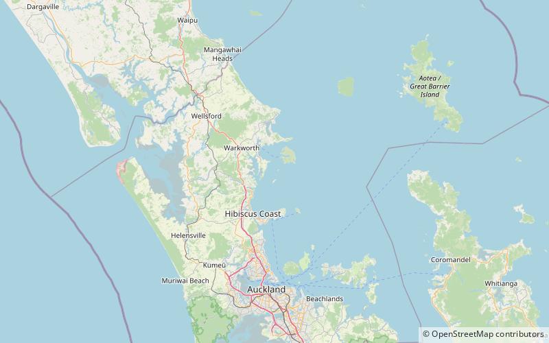
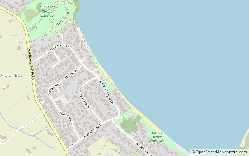
Algies Bay is a northern coastal suburb of Auckland, in New Zealand. It is on the Mahurangi Peninsula about 68 kilometres north of the city centre. ()
AucklandNew Zealand
Algies Bay – popular in the area (distance from the attraction)
Nearby attractions include: Mansion House, Smelting House ruins, Scandrett Regional Park, Warkworth Radio Astronomical Observatory.
4.1 miEHistorical place, Boat or ferry, MuseumMansion House, Kawau Island
106 min walk • Mansion House on Kawau Island, New Zealand, is a house that was owned by Sir George Grey from 1862 to 1888. Built in 1845 as the house for the manager of a copper mine on the island, it was extended significantly by Grey during his ownership. Mansion House is a heritage listed building.
5.2 miERuinsSmelting House ruins, Kawau Island
133 min walk • The Smelting House ruins on Kawau Island, New Zealand, belong to the copper mine established in 1844. As there were problems with combustion of the copper ore during the sea voyage to Wales or Australia, tenders were called in 1848 for the erection of a copper mine smelter.
1.8 miSEParkScandrett Regional Park
46 min walk • Scandrett Regional Park is a regional park located on the north east tip of the Mahurangi Peninsula, north of the city of Auckland, New Zealand.
4.3 miWObservatories and planetariumsWarkworth Radio Astronomical Observatory
111 min walk • The Warkworth Radio Astronomical Observatory is a radio telescope observatory, located just south of Warkworth, New Zealand, about 50 km north of the Auckland CBD. It is operated by the Institute for Radio Astronomy and Space Research, Auckland University of Technology. The WARK12M 12m Radio Telescope was constructed in 2008.
4.8 miERuinsPumphouse ruins, Kawau Island
122 min walk • The Pumphouse ruins on Kawau Island, New Zealand, belong to the copper mine established in 1844. The mine had ongoing problems, including legal, mismanagement, and flooding. To address the latter issue, a pumphouse was built in 1854.
1.5 miNWTownSnells Beach
38 min walk • Snells Beach is a small coastal town in the north of Auckland Region in the North Island of New Zealand. It is situated on the eastern coast of the Mahurangi Peninsula and its namesake beach faces east across Kawau Bay to Kawau Island.
5.7 miSEIslandMotuora
146 min walk • Motuora is an 80 ha island nature reserve in the western Hauraki Gulf, on the north-eastern coast of New Zealand's North Island. It lies some 6.2 km south-west of Kawau Island, 5 km east of Mahurangi Heads and 35 kilometres north of the city of Auckland.
7.2 miSWLocalityPuhoi
184 min walk • Puhoi is a settlement located approximately 50 km north of Auckland, New Zealand on the banks of the Puhoi River. The name Puhoi is translated as "slow water".
4.1 miSEIslandMoturekareka Island, Warkworth
104 min walk • Moturekareka Island is a small island off the southern edge of Kawau Island in Auckland's Hauraki Gulf, approximately 43.7 km north of Auckland. It is separated from nearby Motuketekete Island by Blanche Channel.
5.3 miNELocalityTāwharanui Peninsula
136 min walk • Tāwharanui Peninsula is a finger of land projecting into the Hauraki Gulf from the east coast of the much larger North Auckland Peninsula of New Zealand. It separates Omaha Bay to the north from Kawau Bay and Kawau Island to the south. The nearest sizable town is Warkworth.