Grafton Bridge, Auckland
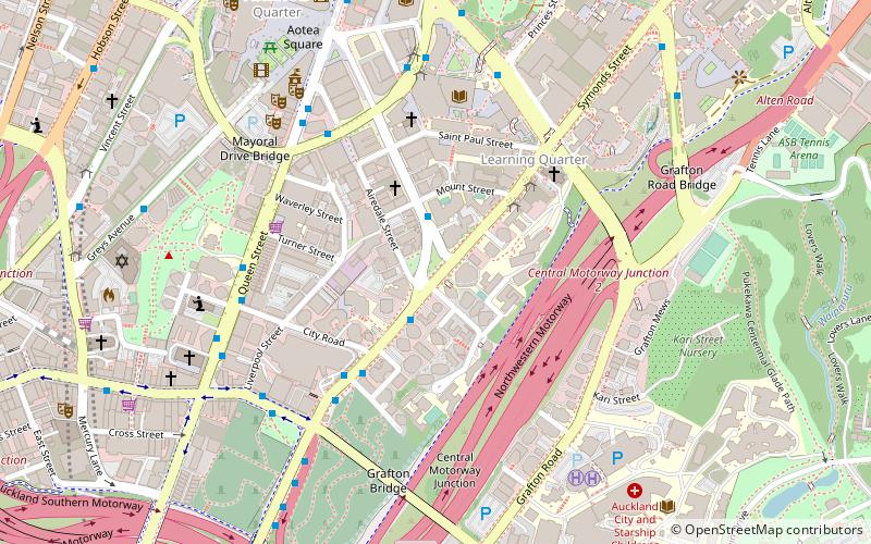
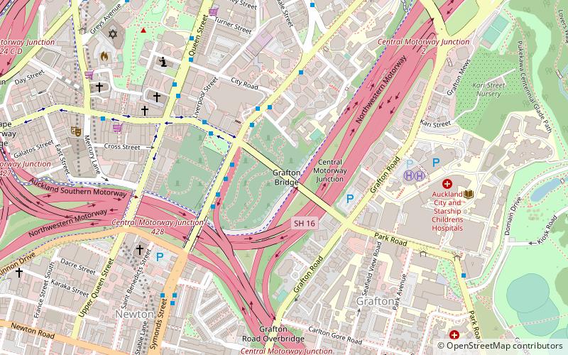
Map
Gallery
Facts and practical information
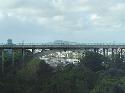
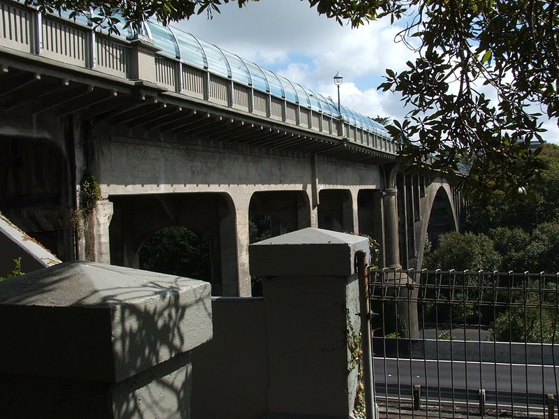
Grafton Bridge is a road bridge spanning Grafton Gully in Auckland, New Zealand. Built of reinforced concrete in 1910, it connects the Auckland CBD and Karangahape Road with Grafton. It spans about 97.6 metres, rises 25.6 metres above the abutments to a height of around 43 metres over the gully. When the bridge was constructed, it contained the largest reinforced concrete arch in the world. ()
Length: 320 ftHeight: 84 ftCoordinates: 36°51'33"S, 174°45'54"E
Address
Central Auckland (Auckland Central Business District)Auckland
ContactAdd
Social media
Add
Day trips
Grafton Bridge – popular in the area (distance from the attraction)
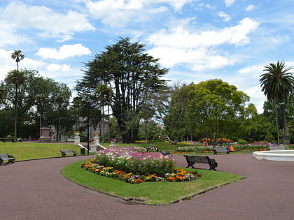
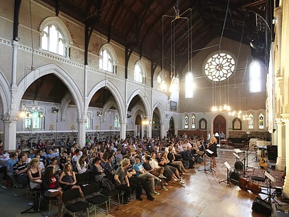
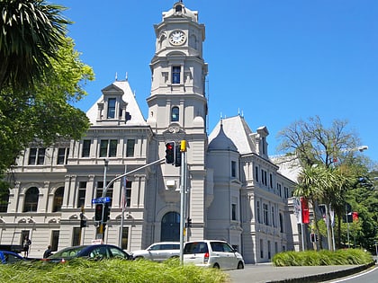
Nearby attractions include: Albert Park, St Paul's Church, Auckland Art Gallery, Auckland Domain.
Frequently Asked Questions (FAQ)
Which popular attractions are close to Grafton Bridge?
Nearby attractions include Symonds Street Cemetery, Auckland (2 min walk), Grafton Gully, Auckland (4 min walk), Symonds Street, Auckland (6 min walk), Auckland Baptist Tabernacle, Auckland (7 min walk).
How to get to Grafton Bridge by public transport?
The nearest stations to Grafton Bridge:
Bus
Train
Tram
Ferry
Bus
- 7158 • Lines: 27H, 27W (3 min walk)
- Grafton Bridge 2 • Lines: 25B, 25L (3 min walk)
Train
- Grafton (14 min walk)
- Parnell (20 min walk)
Tram
- Gaunt Street • Lines: Wynyard Loop (29 min walk)
- Daldy Street • Lines: Wynyard Loop (31 min walk)
Ferry
- Downtown Pier 1 (30 min walk)
- Downtown Pier 11 (30 min walk)
