Kingsland, Auckland
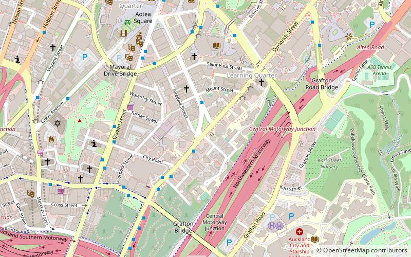
Map
Gallery
Facts and practical information
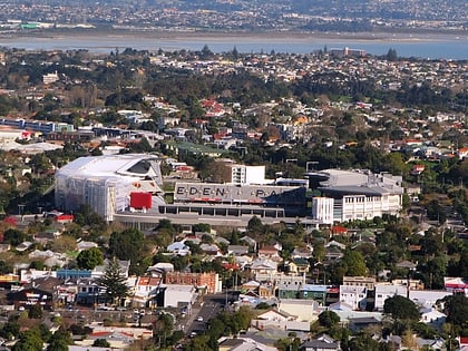
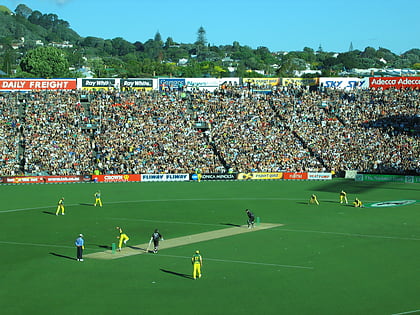
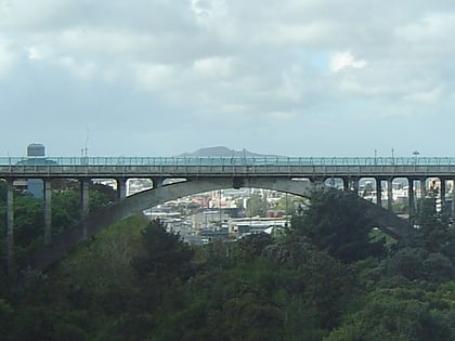
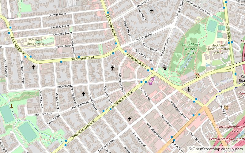
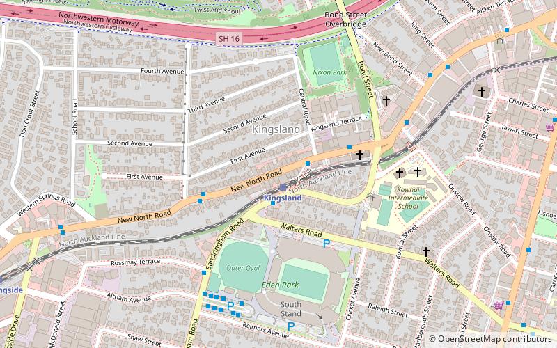
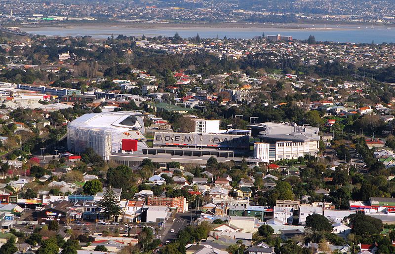
Kingsland is an inner-city suburb of Auckland, the largest and most populous urban area in New Zealand. Kingsland is under the local governance of the Auckland Council. It is the home of Eden Park, New Zealand's largest stadium, which hosted the finals for the 2011 Rugby World Cup. Kingsland has a village centre that contains a series of shops, restaurants, pubs and monthly markets. ()
Coordinates: 36°52'20"S, 174°44'38"E
Address
Central Auckland (Kingsland)Auckland
ContactAdd
Social media
Add
Day trips
Kingsland – popular in the area (distance from the attraction)
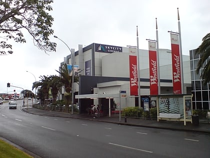
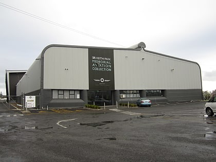
Nearby attractions include: Eden Park, Westfield St Lukes, MOTAT, Western Springs Stadium.
Frequently Asked Questions (FAQ)
Which popular attractions are close to Kingsland?
Nearby attractions include Eden Park, Auckland (5 min walk), Auckland/Central, Auckland (16 min walk), Saint Marys Bay, Auckland (21 min walk), Fowlds Park, Auckland (22 min walk).
How to get to Kingsland by public transport?
The nearest stations to Kingsland:
Train
Bus
Tram
Train
- Kingsland (1 min walk)
- Morningside (14 min walk)
Bus
- Dominion Road near Mount Eden Methodist Church, 8413 • Lines: Out (20 min walk)
- Grey Lynn School • Lines: 66 (20 min walk)
Tram
- Motat 1 • Lines: Western Springs Tramway (25 min walk)
- Western Springs Lakeside Entrance • Lines: Western Springs Tramway (31 min walk)
