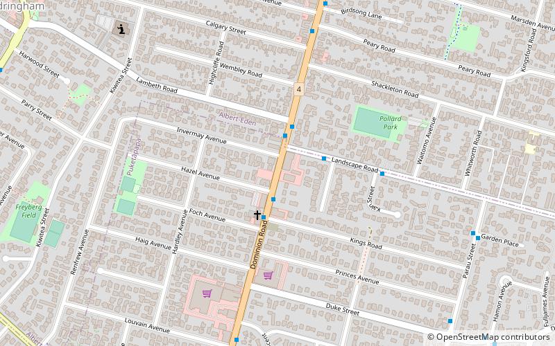
Dominion Road, Auckland
Map
Facts and practical information
Dominion Road is an arterial road in Auckland, New Zealand, running north–south across most of the Auckland isthmus. It is a major public transport route that carries 50,000 bus passengers each week, making it one of the few roads in Auckland on which similar or greater numbers of people travel by public transport than by private car. It achieved some fame by The Mutton Birds' 1992 song titled "Dominion Road". ()
Coordinates: 36°53'48"S, 174°44'39"E
Address
Central Auckland (Three Kings)Auckland
ContactAdd
Social media
Add
Getting there by public transportation
Public transportation stops near this location
- Bus
 Bus
Bus
- Calculate routeKiwitea Street 14 min walk
- Calculate routeSandringham Road 15 min walk
- Calculate routeWinstone Road 15 min walk
- Calculate routeDominion Road 18 min walk
Day trips


Frequently Asked Questions (FAQ)
Which popular attractions are close to Dominion Road?
Nearby attractions include Mount Roskill, Auckland (14 min walk), Hinaki Eel Trap Bridge, Auckland (16 min walk), Sandringham, Auckland (19 min walk), Te Tatua-a-Riukiuta, Auckland (19 min walk).
How to get to Dominion Road by public transport?
The nearest stations to Dominion Road:
Bus
Bus
- Kiwitea Street • Lines: 66, 670 (14 min walk)
- Sandringham Road • Lines: 66, 670 (15 min walk)