Grønlands torg, Oslo
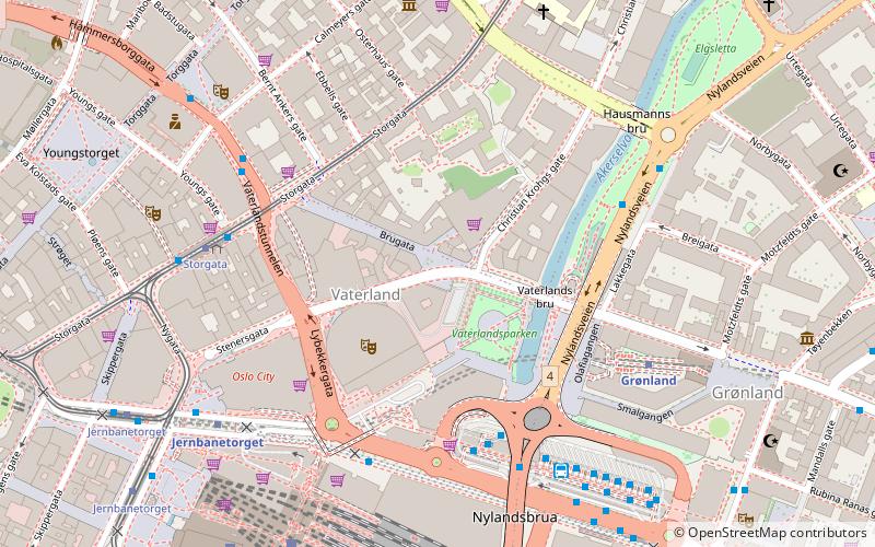
Map
Map

Facts and practical information
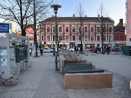
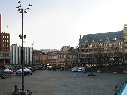
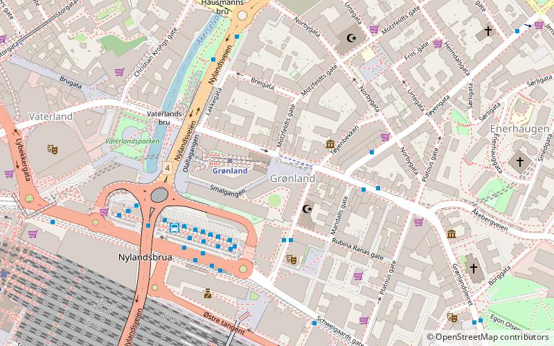
Grønlands torg is a square in Grønland, Oslo, Norway. It was previously the largest square in the city. It featured Slaktehuset, Kjøtthallen and Gartnerhallen. The first two were demolished in 1974, while the latter burned down the same year. From the 1980s, it has received an urban renewal, with housing and commerce. It is served by Grønland of the Oslo Metro. ()
Address
Gamle Oslo (Grønland)Oslo
ContactAdd
Social media
Add
Day trips
Grønlands torg – popular in the area (distance from the attraction)
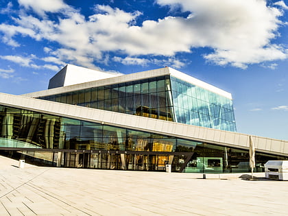
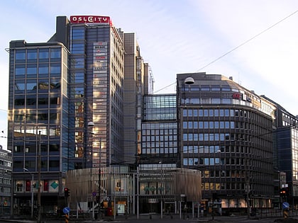
Nearby attractions include: Oslo Opera House, Oslo Spektrum, Oslo City, Marka.
Frequently Asked Questions (FAQ)
Which popular attractions are close to Grønlands torg?
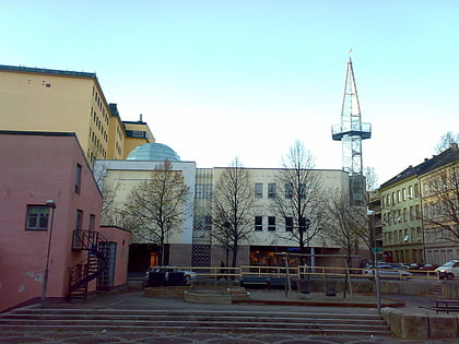
Nearby attractions include Grønland, Oslo (1 min walk), Intercultural Museum, Oslo (2 min walk), Vaterland Bridge, Oslo (4 min walk), Central Jamaat-e Ahl-e Sunnat, Oslo (5 min walk).
How to get to Grønlands torg by public transport?
The nearest stations to Grønlands torg:
Metro
Bus
Train
Tram
Ferry
Metro
- Grønland (2 min walk)
- Jernbanetorget (9 min walk)
Bus
- Oslo Bus Terminal (4 min walk)
Train
- Oslo Central Station (8 min walk)
- Tøyen (23 min walk)
Tram
- Nybrua (9 min walk)
- Bjørvika (9 min walk)
Ferry
- Munch Bjørvika • Lines: B9 (15 min walk)
- Salt brygge • Lines: B9 (17 min walk)
