Sefströmkammen, Nordenskiöld Land National Park
Map
Facts and practical information
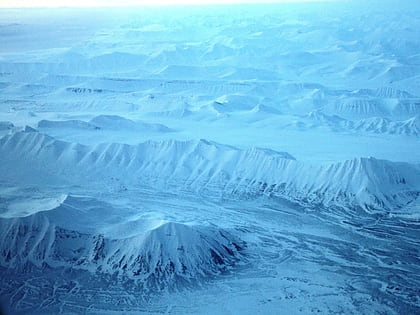
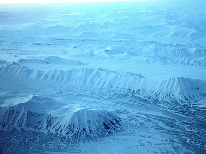
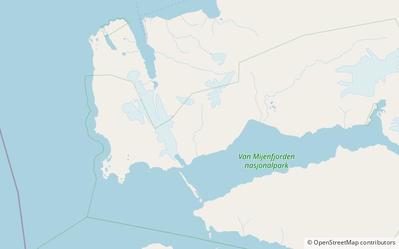
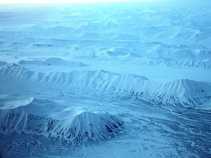
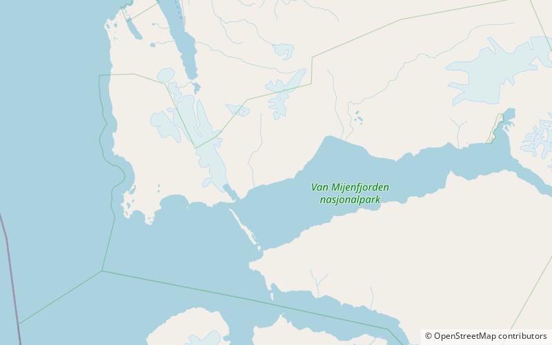
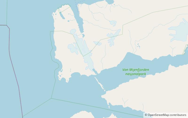
Sefströmkammen is a mountain ridge in Nordenskiöld Land at Spitsbergen, Svalbard. It has a length of about six kilometers, extending along Aurdalen from Søre Aurdalsbre, and comprises the peak of Hamretoppen and other peaks. The ridge is named after Swedish geologist Nils Gabriel Sefström. The glacier-dammed Kamvatnet is located between Sefströmkammen and Fridtjovbreen. The lower ridge of Flathaugen is proximate to Sefströmkammen. ()
Coordinates: 77°50'10"N, 14°33'29"E
Address
Nordenskiöld Land National Park
ContactAdd
Social media
Add
Day trips
Sefströmkammen – popular in the area (distance from the attraction)
Nearby attractions include: Ytterdalen, Ytterdalsegga, Ingeborgfjellet, Berzeliusdalen.
