Plaza Dilao, Manila
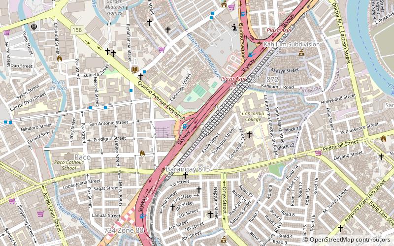
Map

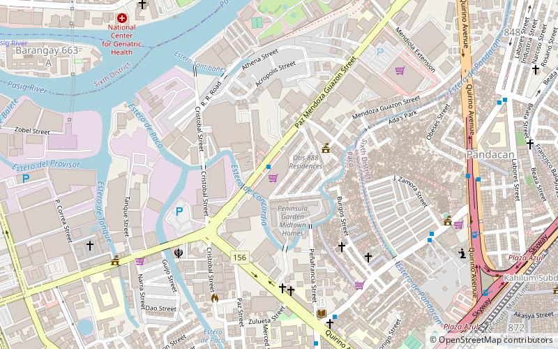
Map

Facts and practical information
Plaza Dilao is a public square in Paco, Manila, bounded by Quirino Avenue to the east, and the rest of the plaza surrounded by the Plaza Dilao Road and Quirino Avenue Extension. The former site of a Spanish colonial era Japanese settlement, it prominently features a memorial commemorating Japanese Roman Catholic kirishitan daimyō Dom Justo Takayama, who settled there in 1615. It is one of two open public spaces in Paco, the other being Paco Park. ()
Elevation: 26 ft a.s.l.Coordinates: 14°34'51"N, 121°0'0"E
Day trips
Plaza Dilao – popular in the area (distance from the attraction)
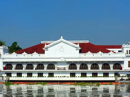
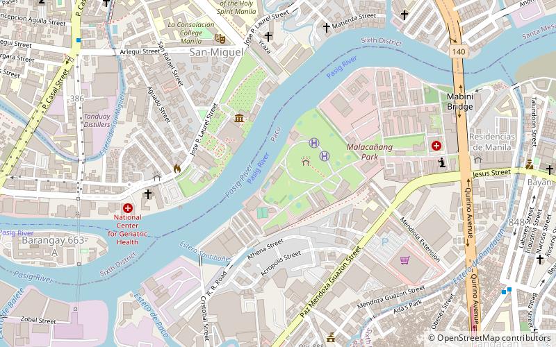
Nearby attractions include: Malacañang Palace, Robinsons Place Manila, Bahay ng Pagbabago, Kalayaan Hall.
Frequently Asked Questions (FAQ)
Which popular attractions are close to Plaza Dilao?
Nearby attractions include Quirino Avenue, Manila (12 min walk), Bellevue Theater, Manila (15 min walk), San Andres, Manila (16 min walk), Asilo de San Vicente de Paul, Manila (17 min walk).
How to get to Plaza Dilao by public transport?
The nearest stations to Plaza Dilao:
Train
Bus
Ferry
Light rail
Train
- Paco (4 min walk)
- San Andres (14 min walk)
Bus
- Quirino Extension • Lines: 301 (6 min walk)
- Bagong Barangay • Lines: 301 (9 min walk)
Ferry
- Santa Ana • Lines: Pasig River Ferry (21 min walk)
- Pup • Lines: Pasig River Ferry (33 min walk)
Light rail
- Pedro Gil • Lines: 1 (22 min walk)
- Quirino • Lines: 1 (24 min walk)


